


6,1 km | 8,9 km-effort
Stoumont : découvrez les meilleures randonnées : 546 pédestres, 45 à vélo ou VTT et 37 parcours équestres. Tous ces circuits, parcours, itinéraires et activités en plein air sont disponibles dans nos applications SityTrail pour smartphones et tablettes.
Marche


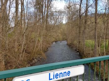
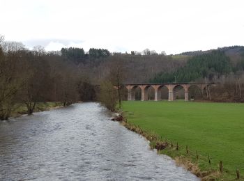
• L’Amblève, serpentant des Hautes Fagnes à Comblainau- Pont, est englobée de sa source à sa confluence avec l’Ourthe d...
Marche
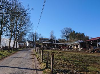
• Chevron – Bru – Chession – pont de Targnon – Xhierfomont – Meuville – Bierleux – Chevron Cartographie et documentat...
Marche
• Stoumont – Monceau – Derrière-le-Tige – Rahier – Meuville – Xhierfomont – Targnon – Stoumont Cartographie et Documen...
Marche
• DÉTAILS DE L'ITINÉRAIRE Difficulté: Moyen Longueur: 15.5 km Durée: 2:10 Balisage: signal rectangle bleu DESCRIPTION A...
Marche
• Fil rouge de cette randonnée, l’entité de Stoumont. La randonnée se fera presque exclusivement sur le territoire de c...
Marche
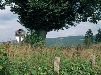
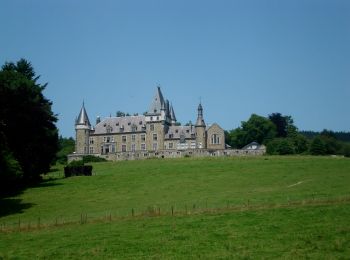
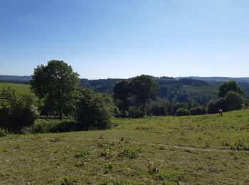
• Superbe randonnée offrant des vues panoramiques sur la vallée de l'Amblève et sur le lac de Coo. 📌 & 🅿️ Devant l'é...

Marche
• detour non prévu... metci les chasseurs ...
Marche
• Chevron – Bru – Chession – pont de Targnon – Xhierfomont – Meuville – Bierleux – Chevron Cartographie et documenta...
Marche
Marche
Marche
•
Marche
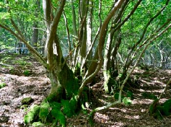
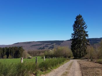
• Grosse montée à travers bois après le milieu sinon pas de difficulté particulière. Très beaux paysages.
Marche
• Stoumont – Cheneux – Rahier – Meuville – Xhierfomont – Targnon – Stoumont Cartographie et documentation Carte IGN au...

Marche
• Promenade sur les bords de L'Ambleve,avec dénivelle!
Marche
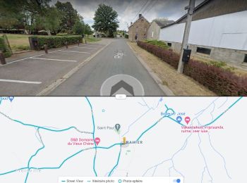
• Départ : Rahier 78 Stoumont
Marche
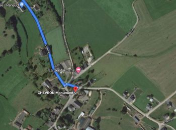
• Parking : centre de Chevron

Marche
Marche
• 3ème étape des 157 km. Superbe parcours boisé et campagnard dans la vallée de l'Amblève. ℹ www.extratrail.com
A pied
• Randonnée créée par Office du Tourisme de Stoumont.
A pied
• Randonnée créée par RSI La Gleize. Symbole: rectangle
20 randonnées affichées sur 674
Application GPS de randonnée GRATUITE
 SityTrail
IGN / Instituts géographiques
SityTrail World
Le monde est à vous