


5,4 km | 6,7 km-effort
Riemst : Entdecken Sie die besten Touren : 106 zu Fuß, 6 mit dem Fahrrad oder Mountainbike und 2 auf dem Pferderücken. Alle diese Touren, Trails, Routen und Outdoor-Aktivitäten sind in unseren SityTrail-Apps für Smartphones und Tablets verfügbar.
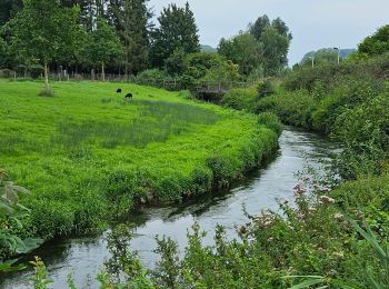
Wandern


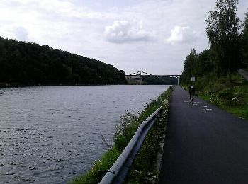
Fahrrad
• balade vélo très cool
Wandern
Wandern

Zu Fuß
Wandern
Zu Fuß
• Trail created by Regionaal Landschap Haspengouw en Voeren. Symbol: arrow
Zu Fuß
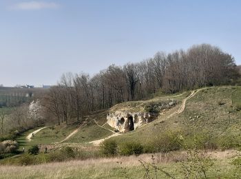
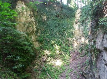
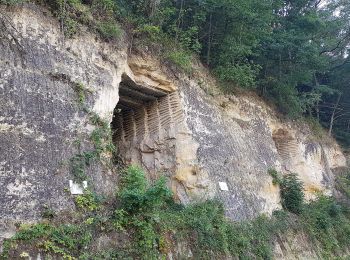
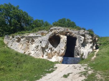
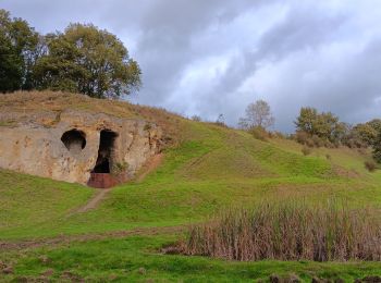
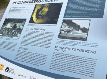
• Het kalkmassief van de Sint-Pietersberg ligt op de grens van Nederland, Vlaanderen en Wallonië. Dit is een unieke str...
Zu Fuß
• Het kalkmassief van de Sint-Pietersberg ligt op de grens van Nederland, Vlaanderen en Wallonië. Dit is een unieke str...
Zu Fuß
• Trail created by Orchis.
Wandern

Wandern
• More information on : http://www.wandelgidszuidlimburg.com
Wandern
Wandern

Wandern
Wandern
Wandern
Wandern
Wandern
Wandern
20 Angezeigte Touren bei 117
Kostenlosegpshiking-Anwendung
 SityTrail
IGN / Geografische Institute
SityTrail World
Die Welt öffnet sich für Sie