


5,4 km | 6,7 km-effort
Riemst : découvrez les meilleures randonnées : 106 pédestres, 6 à vélo ou VTT et 2 parcours équestres. Tous ces circuits, parcours, itinéraires et activités en plein air sont disponibles dans nos applications SityTrail pour smartphones et tablettes.
Marche


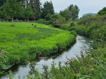
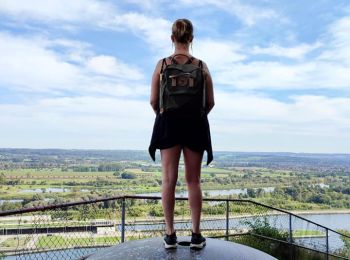
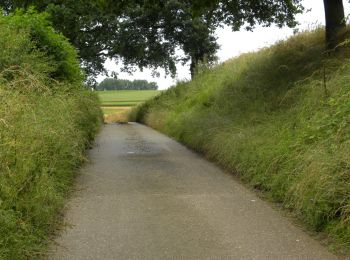
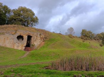
• Au cours de ce tour vallonné et surprenant de Kanne, vous verrez à quel point les environs de ce village sont beaux. ...
Vélo
• balade vélo très cool
Marche
Marche

A pied
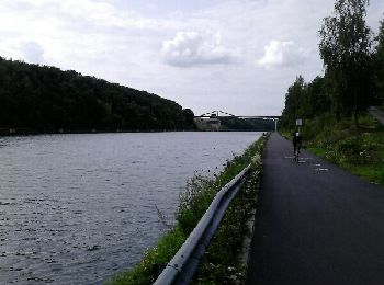
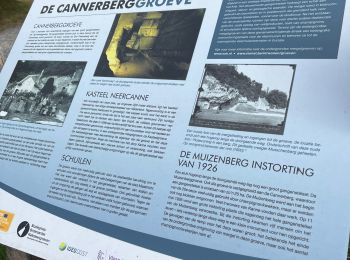
• Tracé de 14 km autour de Kanne et du Fort de Maastricht
Marche
• À - de 30 minutes de Liège !😍 🅿️ Départ et Parking: Steenstraat 12 3770 Riemst ▶️ Suivre la balise "losange bleu"...
A pied
• Randonnée créée par Regionaal Landschap Haspengouw en Voeren. Symbole: arrow
A pied
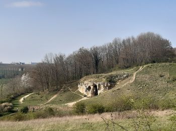
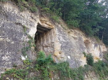
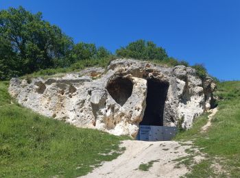
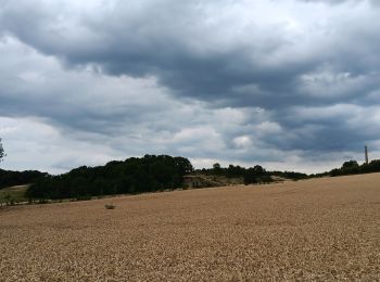
• Het kalkmassief van de Sint-Pietersberg ligt op de grens van Nederland, Vlaanderen en Wallonië. Dit is een unieke str...
A pied
• Het kalkmassief van de Sint-Pietersberg ligt op de grens van Nederland, Vlaanderen en Wallonië. Dit is een unieke str...
A pied
• Randonnée créée par Orchis.
Marche
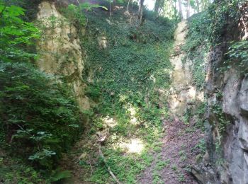
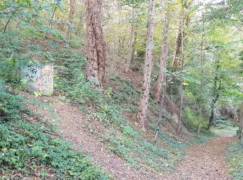
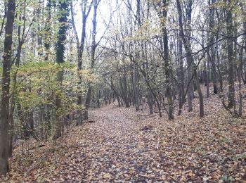
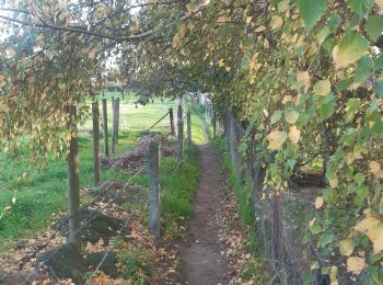
• ses chemins sentiers . ses près champs forêts . ses falaises points de vue grottes carrière

Marche
• More information on : http://www.wandelgidszuidlimburg.com
Marche
Marche

Marche
• 🇧🇪🇳🇱 Un parcours transfrontalier dans la réserve naturelle de la Montagne Saint Pierre, entre Meuse et Geer, entr...
Marche
Marche
Marche
Marche
Marche
• Facile
20 randonnées affichées sur 117
Application GPS de randonnée GRATUITE
 SityTrail
IGN / Instituts géographiques
SityTrail World
Le monde est à vous