


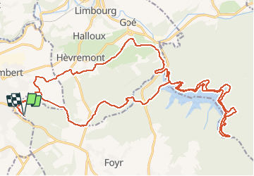

19,9 km | 26 km-effort

Plus vî, plus sot


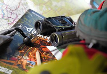
Kostenlosegpshiking-Anwendung
 SityTrail
IGN / Geografische Institute
SityTrail World
Die Welt öffnet sich für Sie
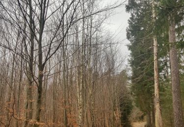
Tour Mountainbike von 29 km verfügbar auf Wallonien, Lüttich, Jalhay. Diese Tour wird von Yeyette VTT team vorgeschlagen.
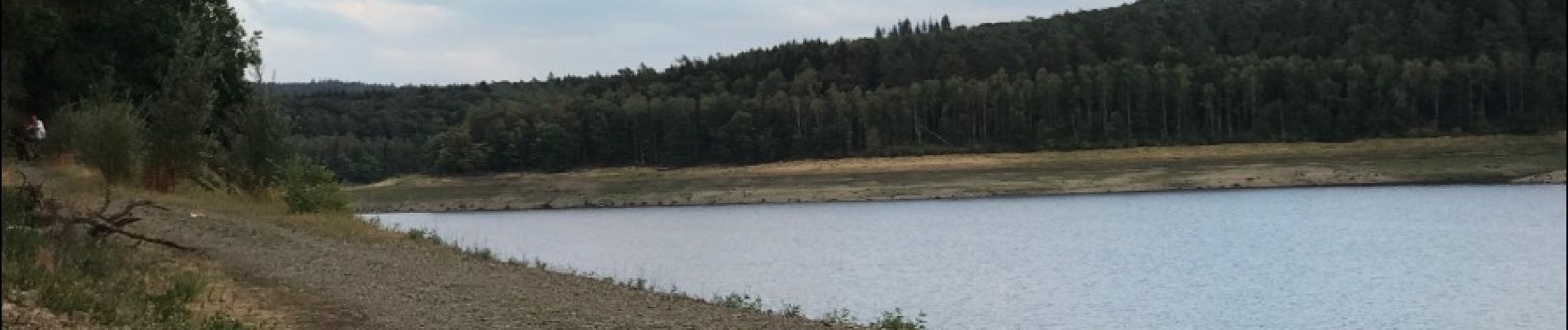
Avec le côté nord de la Gileppe bien asséché : voir le profil de dénivelé.


Wandern

Wandern

Wandern

Wandern

Wandern
Wandern
Wandern
Zu Fuß
Wandern