


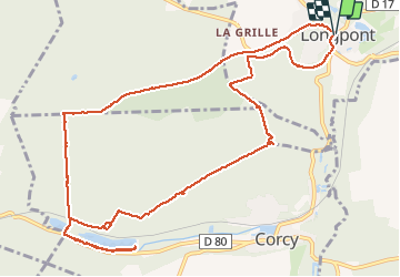


17,5 km | 21 km-effort

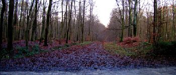
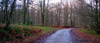
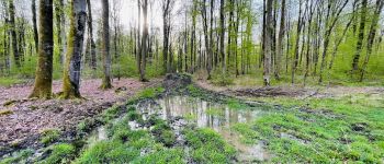
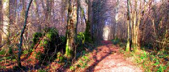
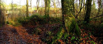
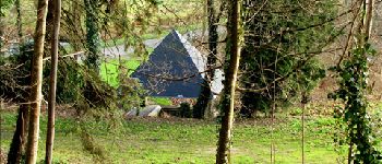
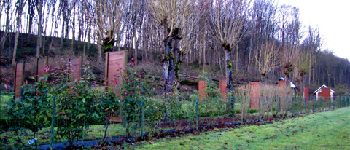
forêts de France


Kostenlosegpshiking-Anwendung
 SityTrail
IGN / Geografische Institute
SityTrail World
Die Welt öffnet sich für Sie
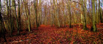
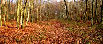
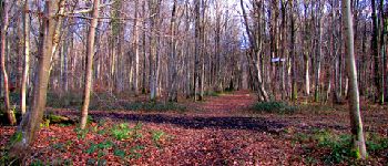
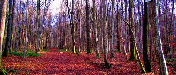
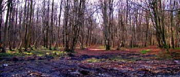
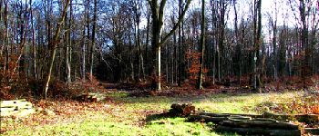
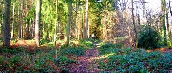
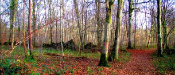
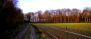
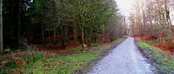
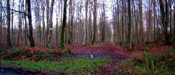
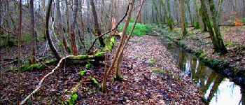
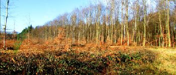
Tour Wandern von 13,2 km verfügbar auf Nordfrankreich, Aisne, Longpont. Diese Tour wird von en forêt de Retz vorgeschlagen.
voir aussi:
http://foret-de-retz.over-blog.com/
12/2012
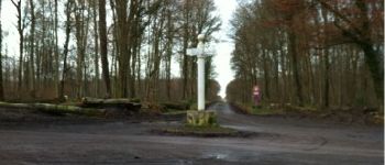
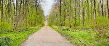
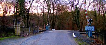
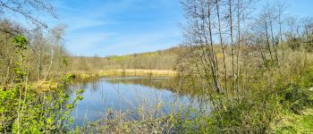
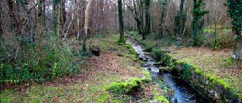
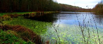
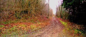
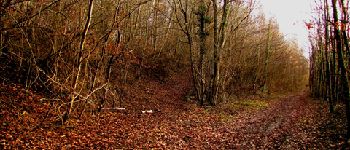
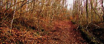
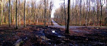
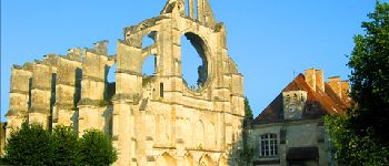
A partir de l''abbaye de Longpont, prendre la D2 et rejoindre le vieux chemin de Longpont. Aller jusqu'à la Croix Bacquet. Prendre la route de la Croix Bacquet jusqu'à la fontaine du Prince. A gauche de l'étang de la petite Ramée, suivre le ru jusqu'à l'étang de la grande Ramée. Revenir jusqu'à la fontaine du Prince. Passer le passage à niveau et prendre à droite. Monter la laie de la Ramée et prendre à droite jusqu'au carrefour des Eours à Chaux (GPS nécessaire). Puis prendre la laie de l'étang (très difficile à pratiquer en hiver à certains endroits) jusqu'au carrefour de Corcy. Prendre la laie de Corcy jusqu'au carrefour du Pendu puis prendre la laie de la croix de Pain Tendre et tourner sur la droite pour rejoindre la laie du vieux mur et récupérer le GR11A en direction du clos de Longpont. Rejoindre Longpont.


100 Fotos insgesamt. Klicken Sie auf ein Foto, um sie alle in der Galerie zu sehen.

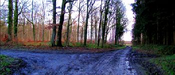
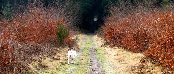
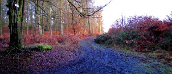
Wandern

Wandern

Wandern

Zu Fuß

Zu Fuß

Wandern

Wandern

Wandern

Wandern