Tocht Stappen Longpont - en forêt de Retz_12_Longpont_etangs de  la Ramee_AR - Photo

en forêt de Retz_12_Longpont_etangs de la Ramee_AR

forêts de France

© OpenStreetMap contributors
Lengte
Lengte
13,2 km
Max. hoogte
Max. hoogte
168 m
Positief hoogteverschil
222 m
Km-Effort
Km-Effort  
16,1 km
Min. hoogte
Min. hoogte
86 m
Negatief hoogteverschil
221 m
Boucle
Boucle
Ja
Datum van aanmaak :
2017-06-06 00:00:00.0
Laatste wijziging :
2020-11-08 10:57:14.764

(0 Bericht)

Stappen
Stappen
3h42
Moeilijkheid : Zeer moeilijk

Scan deze QR-code om de tocht te openen in de SityTrail-applicatie

Gratisgps-wandelapplicatie

Logo SityTrail SityTrail

IGN / Geografische instituten

SityTrail uit de App Store downloaden SityTrail uit Google Play downloaden

Logo SityTrail SityTrail World

De wereld gaat voor u open

SityTrail uit de App Store downloaden SityTrail uit Google Play downloaden SityTrail op Huawei AppGallery downloaden

Over ons

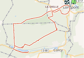
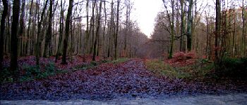
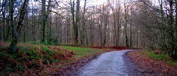
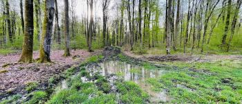
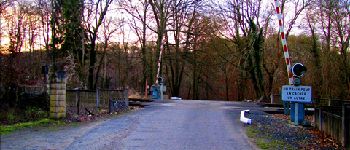
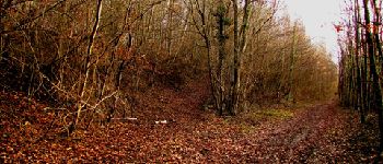
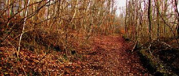
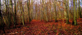
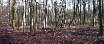
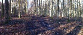
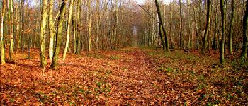
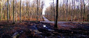
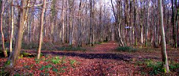
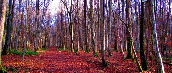
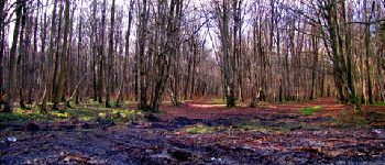
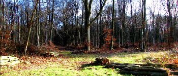
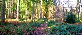
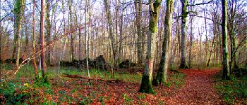
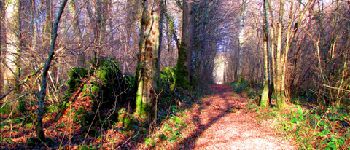
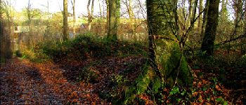
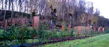
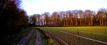
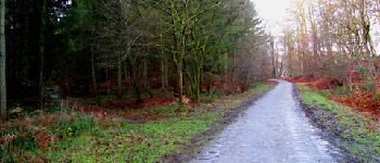
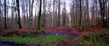
Tocht Stappen van 13,2 km beschikbaar op Hauts-de-France, Aisne, Longpont. Deze tocht wordt voorgesteld door en forêt de Retz.

Beschrijving

voir aussi:
http://foret-de-retz.over-blog.com/

12/2012
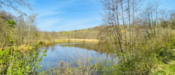
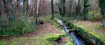
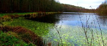
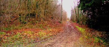
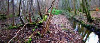
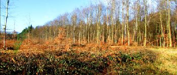
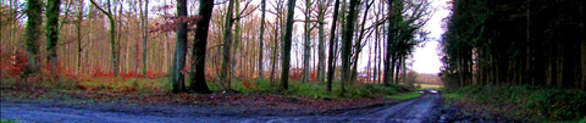
A partir de l''abbaye de Longpont, prendre la D2 et rejoindre le vieux chemin de Longpont. Aller jusqu'à la Croix Bacquet. Prendre la route de la Croix Bacquet jusqu'à la fontaine du Prince. A gauche de l'étang de la petite Ramée, suivre le ru jusqu'à l'étang de la grande Ramée. Revenir jusqu'à la fontaine du Prince. Passer le passage à niveau et prendre à droite. Monter la laie de la Ramée et prendre à droite jusqu'au carrefour des Eours à Chaux (GPS nécessaire). Puis prendre la laie de l'étang (très difficile à pratiquer en hiver à certains endroits) jusqu'au carrefour de Corcy. Prendre la laie de Corcy jusqu'au carrefour du Pendu puis prendre la laie de la croix de Pain Tendre et tourner sur la droite pour rejoindre la laie du vieux mur et récupérer le GR11A en direction du clos de Longpont. Rejoindre Longpont.

Hoogteprofiel

Foto's

100 fotos in totaal. Klik op een foto om ze allemaal in de galerij weer te geven.

POI's

POI Montgobert - Point 4 - Photo
JeanLucA4
MONTGOBERT 
POI Montgobert - Point 5 - Photo
JeanLucA4
MONTGOBERT 
POI Montgobert - Point 6 - Photo
JeanLucA4
MONTGOBERT 
POI Montgobert - Point 8 - Photo
JeanLucA4
MONTGOBERT 
POI Montgobert - Point 9 - Photo
JeanLucA4
MONTGOBERT 
POI Montgobert - Point 11 - Photo
JeanLucA4
MONTGOBERT 
POI Corcy - Unnamed POI - Photo
JeanLucA4
POI Corcy - Unnamed POI - Photo
JeanLucA4
POI Corcy - Point 14 - Photo
JeanLucA4
CORCY 
POI Corcy - Unnamed POI - Photo
JeanLucA4
POI Corcy - Point 16 - Photo
JeanLucA4
CORCY 
POI Corcy - Point 18 - Photo
JeanLucA4
CORCY 
POI Corcy - Point 19 - Photo
JeanLucA4
CORCY 
POI Corcy - Point 20 - Photo
JeanLucA4
CORCY 
POI Corcy - Point 21 - Photo
JeanLucA4
CORCY 
POI Corcy - Point 22 - Photo
JeanLucA4
CORCY 
POI Corcy - Point 23 - Photo
JeanLucA4
CORCY 
POI Corcy - Point 24 - Photo
JeanLucA4
CORCY 
POI Corcy - Point 25 - Photo
JeanLucA4
CORCY 
POI Corcy - Unnamed POI - Photo
JeanLucA4
POI Corcy - Point 27 - Photo
JeanLucA4
CORCY 
POI Corcy - Point 28 - Photo
JeanLucA4
CORCY 
POI Corcy - Point 29 - Photo
JeanLucA4
CORCY 
POI Corcy - Point 30 - Photo
JeanLucA4
CORCY 
POI Montgobert - Point 32 - Photo
JeanLucA4
MONTGOBERT 
POI Montgobert - Point 33 - Photo
JeanLucA4
MONTGOBERT 
POI Longpont - Point 34 - Photo
JeanLucA4
LONGPONT 
POI Longpont - Point 35 - Photo
JeanLucA4
LONGPONT 
POI Longpont - Point 36 - Photo
JeanLucA4
LONGPONT 
POI Longpont - Point 37 - Photo
JeanLucA4
LONGPONT 
POI Longpont - Point 1 - Photo
JeanLucA4
LONGPONT 
POI Longpont - Point 2 - Photo
JeanLucA4
LONGPONT 
POI Longpont - Point 3 - Photo
JeanLucA4
LONGPONT 
POI Montgobert - Point 7 - Photo
JeanLucA4
MONTGOBERT 
POI Montgobert - Point 10 - Photo
JeanLucA4
MONTGOBERT 
POI Corcy - Point 17 - Photo
JeanLucA4
CORCY 
POI Montgobert - Point 31 - Photo
JeanLucA4
MONTGOBERT 
POI Longpont - Point 38 - Photo
JeanLucA4
LONGPONT 

Plaatsbepaling

Land:
France
Regio :
Hauts-de-France
Departement/Provincie :
Aisne
Gemeente :
Longpont
Locatie:
Unknown
Vertrek:(Dec)
Vertrek:(UTM)
515995 ; 5457860 (31U) N.

Wandeltochten in de omgeving

Tocht Stappen Longpont - en forêt de Retz_19_Longpont_carrefour de Vauvaudran_AR - Photo
Stappen

Stappen

Medium
(1)
Longpont, Hauts-de-France, Aisne, France
17,5 km | 21 km-effort
4h 10min
Ja
Tocht Stappen Corcy - FLEURY .AISNE  - Photo
Stappen
TURLUPIN2010

Stappen

Medium
Corcy, Hauts-de-France, Aisne, France
5,7 km | 7,9 km-effort
1h 25min
Ja
Tocht Stappen Corcy - en forêt de Retz_91_04_2022_la Laie de la Belle Epine - Photo
Stappen

Stappen

Moeilijk
Corcy, Hauts-de-France, Aisne, France
10,6 km | 13,3 km-effort
3h 32min
Ja
Tocht Te voet Puiseux-en-Retz - Route du Faîte - Photo
Te voet
PRO

Te voet

Gemakkelijk
Puiseux-en-Retz, Hauts-de-France, Aisne, France
5,8 km | 7,1 km-effort
1h 37min
Neen
Tocht Te voet Longpont - en forêt de Retz_22_Longpont_Rond d'Orléans_AR - Photo
Te voet

Te voet

Medium
Longpont, Hauts-de-France, Aisne, France
14,6 km | 17,5 km-effort
Onbekend
Ja
Tocht Stappen Montgobert - en forêt de Retz_83_les Champs Mentard_le Fond d'Argent - Photo
Stappen

Stappen

Medium
Montgobert, Hauts-de-France, Aisne, France
13,6 km | 16,2 km-effort
3h 46min
Ja
Tocht Stappen Longpont - en forêt de Retz_77_Longpont_Puiseux en Retz_AR - Photo
Stappen

Stappen

Moeilijk
Longpont, Hauts-de-France, Aisne, France
22 km | 27 km-effort
6h 4min
Ja
Tocht Stappen Montgobert - en forêt de Retz_75_promenade familiale tout temps - Photo
Stappen

Stappen

Heel gemakkelijk
Montgobert, Hauts-de-France, Aisne, France
3,9 km | 4,7 km-effort
1h 25min
Ja
Tocht Stappen Longpont - en forêt de Retz_73_ballade (5) en toute saison - Photo
Stappen

Stappen

Gemakkelijk
Longpont, Hauts-de-France, Aisne, France
9,1 km | 10,8 km-effort
2h 6min
Ja


Sluiten
Mijn abonnementen