


6,1 km | 8,9 km-effort

Randonnez sur et autour des GR ® wallons (Sentiers de Grande Randonnée). PRO


Kostenlosegpshiking-Anwendung
 SityTrail
IGN / Geografische Institute
SityTrail World
Die Welt öffnet sich für Sie
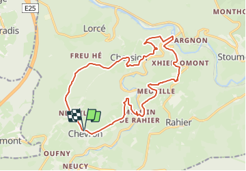
Tour Wandern von 17 km verfügbar auf Wallonien, Lüttich, Stoumont. Diese Tour wird von GR Rando vorgeschlagen.
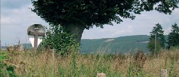
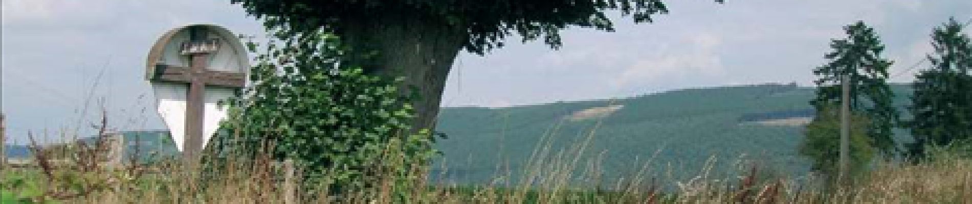
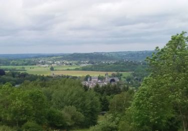
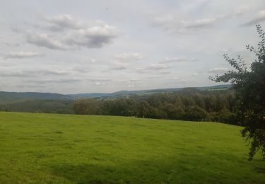
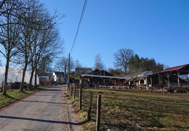
De point de vue en point de vue autour de Lorcé
Lorcé – Chession – Lorcé
Cartographie et documentation :
Carte IGN au 1 : 20 000, 49/7-8 « Harzé - Stoumont ».
Carte des promenades « Chevron – Lorcé – Rahier – Stoumont », éditée par le S.I. de Stoumont et réalisée par l’IGN.
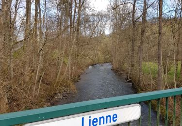
Topo-guide du GR 571 « Vallées des Légendes (Amblève – Salm – Lienne) ».
Où se désaltérer et se restaurer :
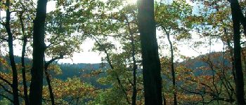
Aucune possibilité dans les villages traversés. Suivant la direction que vous prendrez au retour, vous pourrez vous arrêter à Remouchamps, à Harzé, à Aywaille, ou encore à Stoumont.


Wandern
Wandern
Wandern
Wandern

Wandern
Wandern
Wandern
Wandern
Wandern