25 km | 32 km-effort
Activity
Ceclm
Benutzer
Länge
18,2 km
Maximale Höhe
181 m
Positive Höhendifferenz
211 m
Km-Effort
21 km
Min. Höhe
84 m
Negative Höhendifferenz
264 m
Boucle
Nein
Erstellungsdatum :
2019-06-18 13:03:52.0
Letzte Änderung :
2019-06-20 14:04:29.651
--
Schwierigkeit : Medium
Kostenlosegpshiking-Anwendung
Über SityTrail
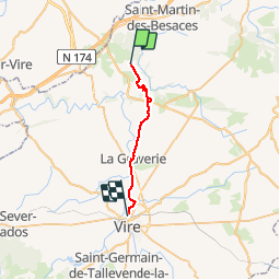
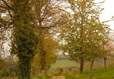
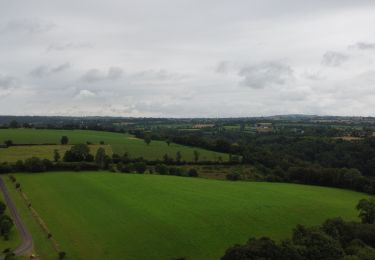
Tour Radtourismus von 18,2 km verfügbar auf Normandie, Calvados, Souleuvre-en-Bocage. Diese Tour wird von Ceclm vorgeschlagen.
Beschreibung
Mont St Michel Vélo
Ort
Land:
France
Region :
Normandie
Abteilung/Provinz :
Calvados
Kommune :
Souleuvre-en-Bocage
Standort:
La Ferrière-Harang
Gehen Sie:(Dec)
Gehen Sie:(UTM)
654799 ; 5426598 (30U) N.
Kommentare
Touren in der Umgebung
rando de la souleuvre
Mountainbike
Medium
(1)
Souleuvre-en-Bocage,
Normandie,
Calvados,
France
2h 7min
Ja
Campeaux
Wandern
Medium
Souleuvre-en-Bocage,
Normandie,
Calvados,
France
18,4 km | 24 km-effort
4h 24min
Ja
La vire
Wandern
Medium
Souleuvre-en-Bocage,
Normandie,
Calvados,
France
22 km | 28 km-effort
5h 0min
Ja
Le long de la Souleuvre et de la Vire - Campeaux
Mountainbike
Schwierig
Souleuvre-en-Bocage,
Normandie,
Calvados,
France
53 km | 68 km-effort
5h 30min
Ja
Tour du Bocage Virois - Saint Martin des Besaces
Mountainbike
Sehr schwierig
Souleuvre-en-Bocage,
Normandie,
Calvados,
France
62 km | 78 km-effort
4h 30min
Ja
carville
Wandern
Einfach
Souleuvre-en-Bocage,
Normandie,
Calvados,
France
7,7 km | 9,8 km-effort
1h 49min
Ja
Vélomaritime_Cherbourg_Caen_#J6_20210710_Le_Bény-Bocage_-_Baron-sur-Odon
Radtourismus
Sehr leicht
Souleuvre-en-Bocage,
Normandie,
Calvados,
France
64 km | 75 km-effort
Unbekannt
Nein
le beny bocage
Wandern
Sehr leicht
Souleuvre-en-Bocage,
Normandie,
Calvados,
France
3,6 km | 5,2 km-effort
2h 2min
Nein
LaVallée de la Souleuvre
Wandern
Medium
Souleuvre-en-Bocage,
Normandie,
Calvados,
France
7,2 km | 9,8 km-effort
2h 5min
Ja