


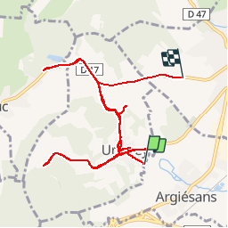


12 km | 16,4 km-effort


Benutzer


Kostenlosegpshiking-Anwendung
 SityTrail
IGN / Geografische Institute
SityTrail World
Die Welt öffnet sich für Sie
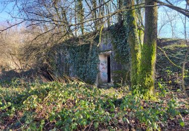
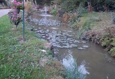
Tour Andere Aktivitäten von 13,8 km verfügbar auf Burgund und Freigrafschaft, Territoire-de-Belfort, Argiésans. Diese Tour wird von alexbnmr vorgeschlagen.
Wandern

Mountainbike

Wandern
Wandern
Wandern
Wandern

Wandern

Mountainbike
Mountainbike