


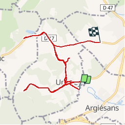


12 km | 16,4 km-effort


Gebruiker


Gratisgps-wandelapplicatie
 SityTrail
IGN / Geografische instituten
SityTrail World
De wereld gaat voor u open
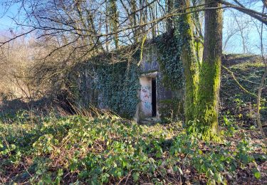
Tocht Andere activiteiten van 13,8 km beschikbaar op Bourgondië-Franche-Comté, Territoire-de-Belfort, Argiésans. Deze tocht wordt voorgesteld door alexbnmr.
Stappen

Mountainbike

Stappen
Stappen
Stappen
Stappen

Stappen

Mountainbike
Mountainbike