


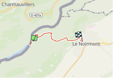

6,5 km | 9,5 km-effort

Tous les sentiers balisés d’Europe PRO


Kostenlosegpshiking-Anwendung
 SityTrail
IGN / Geografische Institute
SityTrail World
Die Welt öffnet sich für Sie
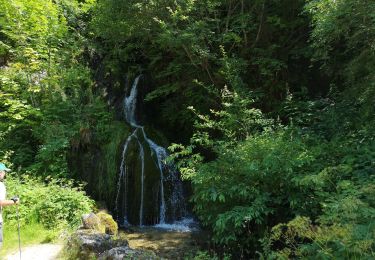
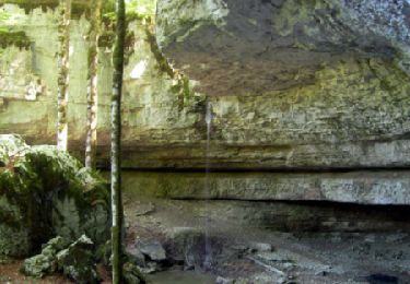
Tour Zu Fuß von 3,9 km verfügbar auf Jura, Freiberge, Le Noirmont. Diese Tour wird von SityTrail - itinéraires balisés pédestres vorgeschlagen.
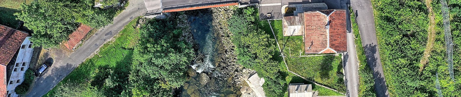
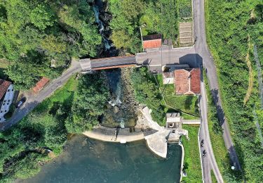
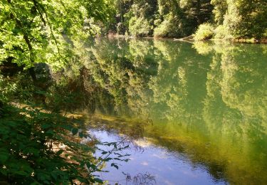
La Goule - fixme
Symbol: gelber Diamant (waagrecht)


Wandern
Zu Fuß
Zu Fuß
Wandern
Wandern
Wandern
Wandern
Wandern
Wandern