


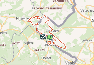

14 km | 17,6 km-effort

Benutzer GUIDE


Kostenlosegpshiking-Anwendung
 SityTrail
IGN / Geografische Institute
SityTrail World
Die Welt öffnet sich für Sie
Tour Wandern von 14,7 km verfügbar auf Limburg, Unbekannt, Vaals. Diese Tour wird von mumu.larandonneuse vorgeschlagen.
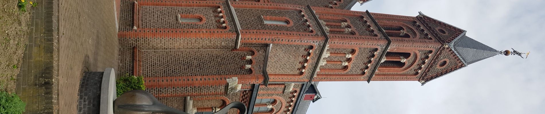
ℹ www.wandelgidszuidlimburg.com n° 235.
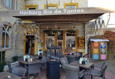
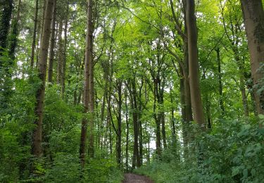
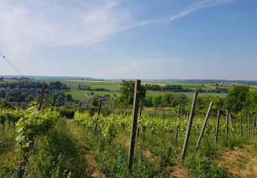
➡️ Cette randonnée d'altitude avec des dénivelés traverse le territoire allemand. Via le Schneeberg, vous marchez jusqu'à Orsbach. Puis via le Plattebos et le Colmonderbos jusqu'à Mamelis. Apportez vos propres provisions, il y a une aire de pique-nique à mi-chemin.


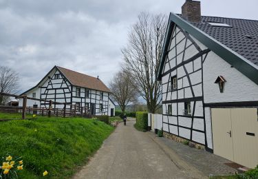
Wandern
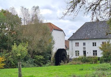
Wandern

Wandern

Wandern
Wandern
Wandern
Wandern
Wandern
Wandern
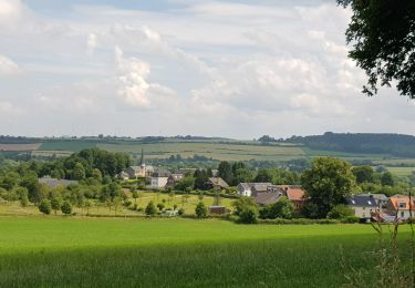
Superbe rando 🇳🇱🇩🇪 avec de belles vues panoramiques. ℹ n° 235.