


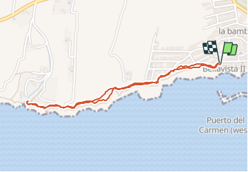

6,2 km | 10 km-effort

Benutzer


Kostenlosegpshiking-Anwendung
 SityTrail
IGN / Geografische Institute
SityTrail World
Die Welt öffnet sich für Sie
Tour Wandern von 2,8 km verfügbar auf Kanarische Inseln, Las Palmas, Tías. Diese Tour wird von patjobou vorgeschlagen.
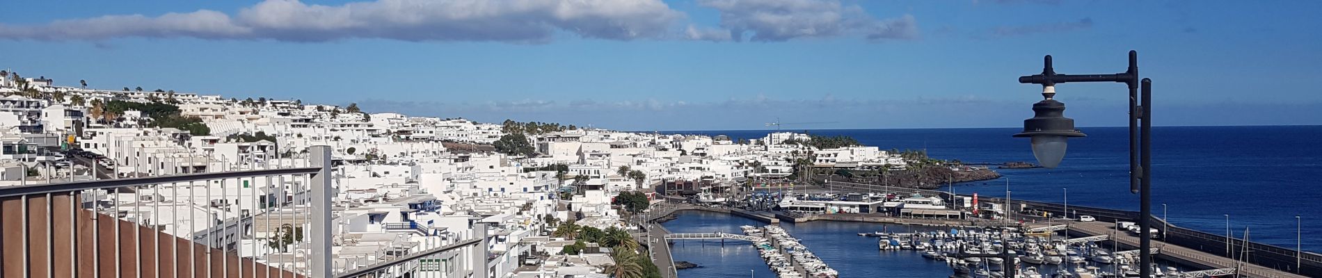
De Puerto del Carmen a Puerto Calero au coucher de soleil. Belle boucle, beaux paysages. Aller jusqu'au port ne présente pas beaucoup d'intérêt après cette belle traverser sauvage , à moins d'y boire un coup avant de revenir . Itinéraire facile par beau temps.


Wandern

Andere Aktivitäten

Wandern
Wandern

Andere Aktivitäten