


12,9 km | 15,2 km-effort

Benutzer


Kostenlosegpshiking-Anwendung
 SityTrail
IGN / Geografische Institute
SityTrail World
Die Welt öffnet sich für Sie
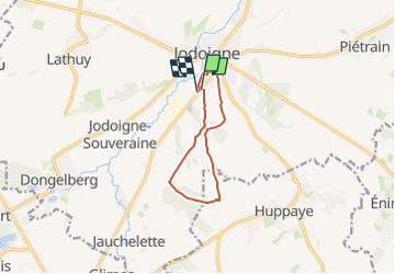
Tour Wandern von 7,7 km verfügbar auf Wallonien, Wallonisch-Brabant, Jodoigne. Diese Tour wird von Randos Ouvertes vorgeschlagen.
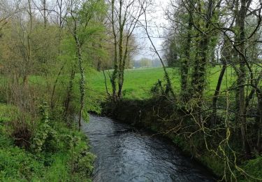
Rando découverte au sud de Jodoigne. Paysages typiques de la Hesbaye brabançonne.
Circuit découverte de 7,7 km avec 80m de dénivelé.
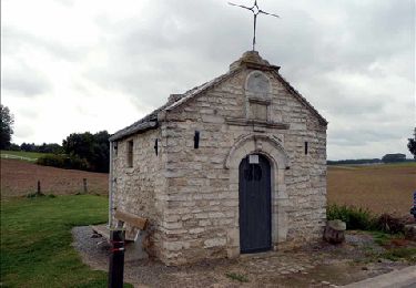
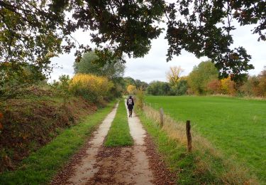
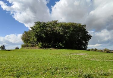
Objectif : le Bois du Haut Saint Pierre
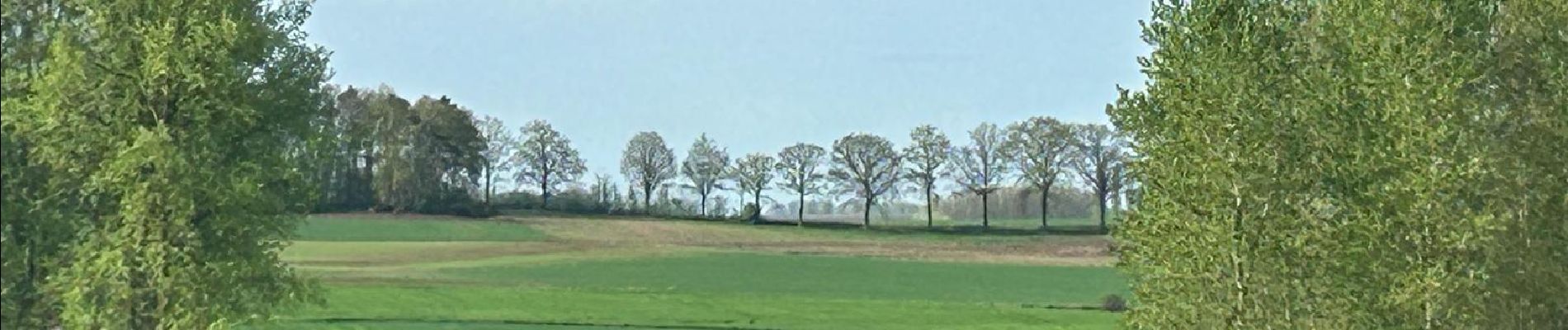
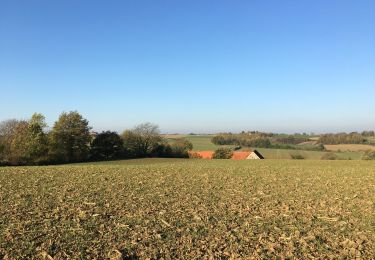
Paysages typiques de la Hesbaye brabançonne
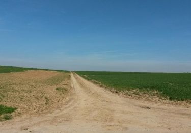
Grands horizons découverts, terres agricoles
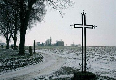
Point à prendre en compte au printemps 2024 : parties très boueuses et avec grandes flaques. Notamment dans le bois du Haut Saint Pierre (voir photos).
Crédit photos : Corinne van Aubel et Fabienne Ernotte


Wandern
Wandern
Zu Fuß
Wandern
Wandern
Wandern
Wandern
Wandern
Zu Fuß