


12,9 km | 15,2 km-effort

Usuario


Aplicación GPS de excursión GRATIS
 SityTrail
IGN / Institutos geográficos
SityTrail World
El mundo es suyo
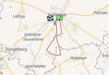
Ruta Senderismo de 7,7 km a descubrir en Valonia, Brabante Valón, Jodoigne. Esta ruta ha sido propuesta por Randos Ouvertes.
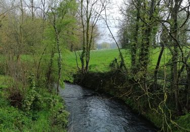
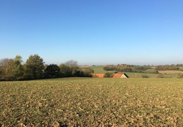
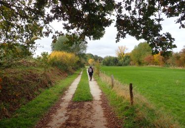
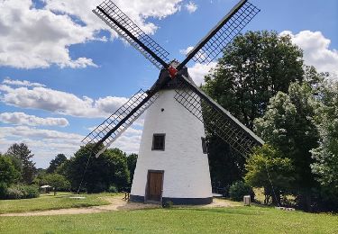
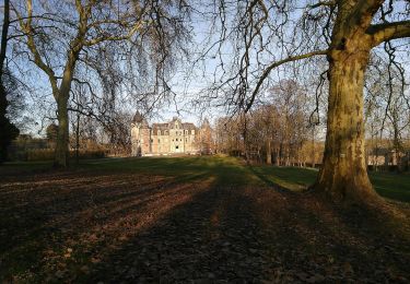
Rando découverte au sud de Jodoigne. Paysages typiques de la Hesbaye brabançonne.
Circuit découverte de 7,7 km avec 80m de dénivelé.
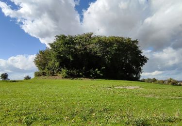
Objectif : le Bois du Haut Saint Pierre
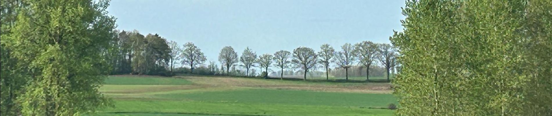
Paysages typiques de la Hesbaye brabançonne
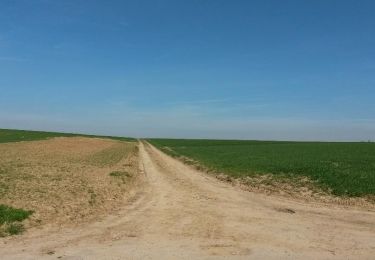
Grands horizons découverts, terres agricoles
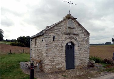
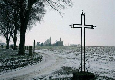
Point à prendre en compte au printemps 2024 : parties très boueuses et avec grandes flaques. Notamment dans le bois du Haut Saint Pierre (voir photos).
Crédit photos : Corinne van Aubel et Fabienne Ernotte


Senderismo
Senderismo
A pie
Senderismo
Senderismo
Senderismo
Senderismo
Senderismo
A pie