


21 km | 27 km-effort

Benutzer GUIDE


Kostenlosegpshiking-Anwendung
 SityTrail
IGN / Geografische Institute
SityTrail World
Die Welt öffnet sich für Sie
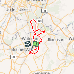
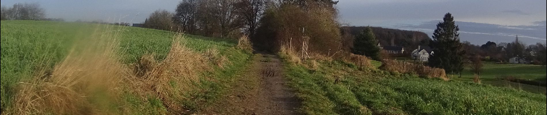
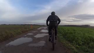
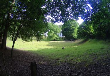
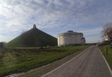
Tour Mountainbike von 39 km verfügbar auf Wallonien, Wallonisch-Brabant, Waterloo. Diese Tour wird von pascalou73 vorgeschlagen.
Voilà un VTT au départ de la butte du lion avec des chemins de la région qui sont de toute beauté .Qui vous emménent vers un itinéraire à la découverte de la région vous trouverez un vrais dépaysement .


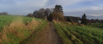
Wandern

Wandern

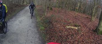
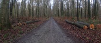
Mountainbike
Mountainbike
Mountainbike
Wandern

Wandern
Wandern
Wandern
??merci d'avoir partagé Didier D'hane