


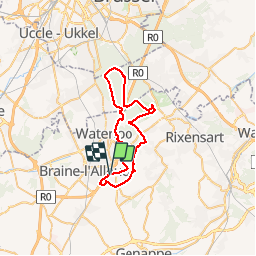


21 km | 27 km-effort

Utilisateur GUIDE


Application GPS de randonnée GRATUITE
 SityTrail
IGN / Instituts géographiques
SityTrail World
Le monde est à vous
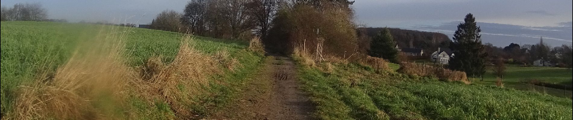
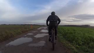
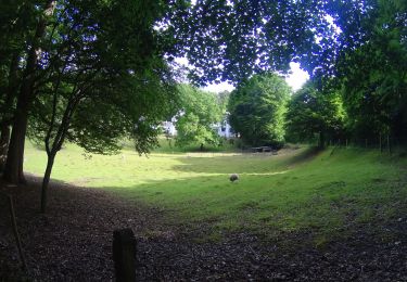
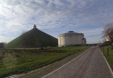
Randonnée V.T.T. de 39 km à découvrir à Wallonie, Brabant wallon, Waterloo. Cette randonnée est proposée par pascalou73.
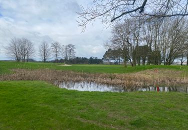
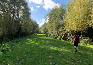
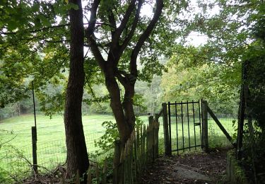
Voilà un VTT au départ de la butte du lion avec des chemins de la région qui sont de toute beauté .Qui vous emménent vers un itinéraire à la découverte de la région vous trouverez un vrais dépaysement .


Marche

Marche

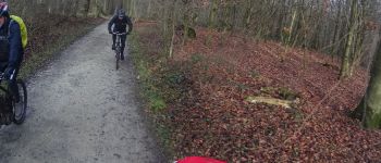
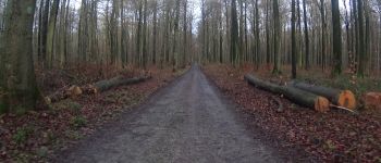
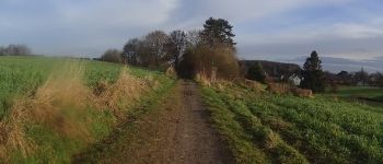
V.T.T.
V.T.T.
V.T.T.
Marche

Marche
Marche
Marche
??merci d'avoir partagé Didier D'hane