


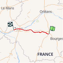

46 km | 51 km-effort


Benutzer


Kostenlosegpshiking-Anwendung
 SityTrail
IGN / Geografische Institute
SityTrail World
Die Welt öffnet sich für Sie
Tour Andere Aktivitäten von 148 km verfügbar auf Zentrum-Loiretal, Cher, Vierzon. Diese Tour wird von Orage vorgeschlagen.
Vierzon au Bec du Cher / Loire par...
Port Péan 11km Châtres 17km Villefranche 30km Chabris 40km Selles 53km St Aignan 70 km Thésée 80km Montrichard 90km Chenonceau 100km Tours 130km Villandry 145km Bec du Cher 148km
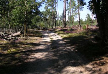
Wandern

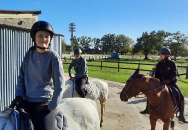
Pferd
Pferd
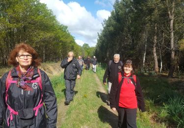
Wandern
Mountainbike
Wandern
Andere Aktivitäten
Wandern