


46 km | 51 km-effort


Utilisateur


Application GPS de randonnée GRATUITE
 SityTrail
IGN / Instituts géographiques
SityTrail World
Le monde est à vous
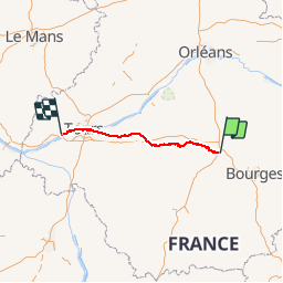
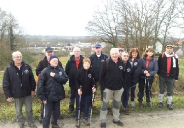
Randonnée Autre activité de 148 km à découvrir à Centre-Val de Loire, Cher, Vierzon. Cette randonnée est proposée par Orage.
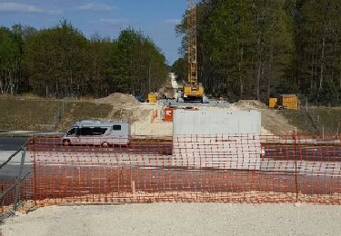
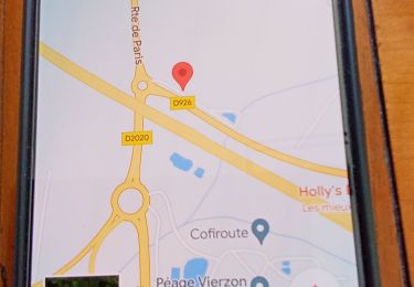
Vierzon au Bec du Cher / Loire par...
Port Péan 11km Châtres 17km Villefranche 30km Chabris 40km Selles 53km St Aignan 70 km Thésée 80km Montrichard 90km Chenonceau 100km Tours 130km Villandry 145km Bec du Cher 148km
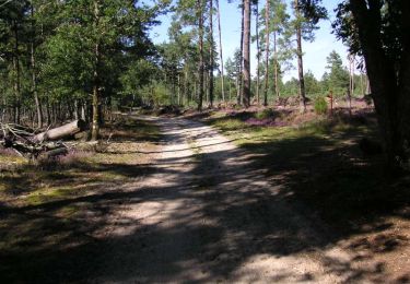
Marche

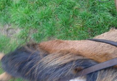
Cheval
Cheval
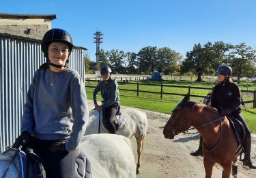
Randonnée équestre
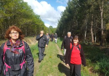
Marche
V.T.T.
Marche
Autre activité
Marche