


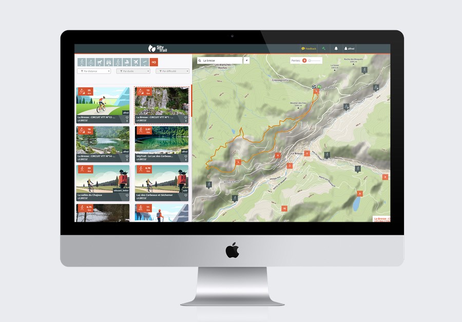
Find your next trails


Join THE outdoor community
SityTrail free advantages

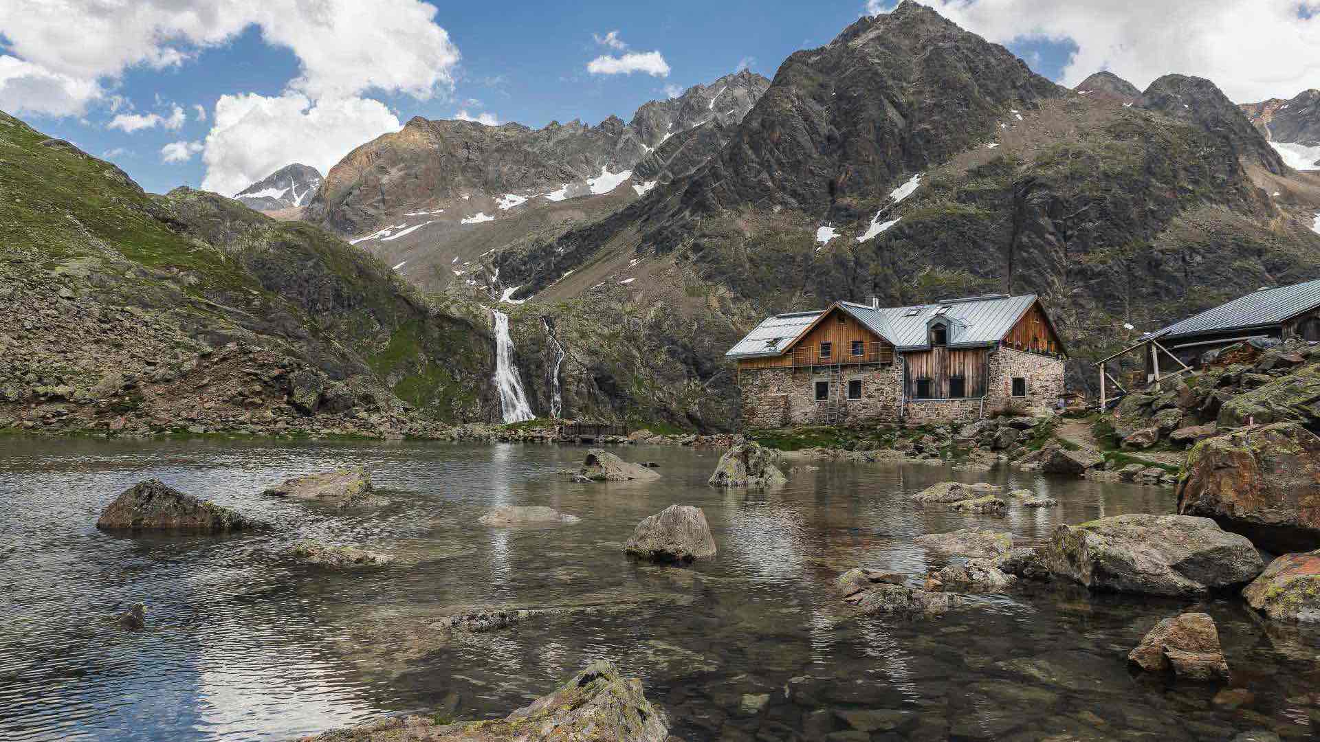
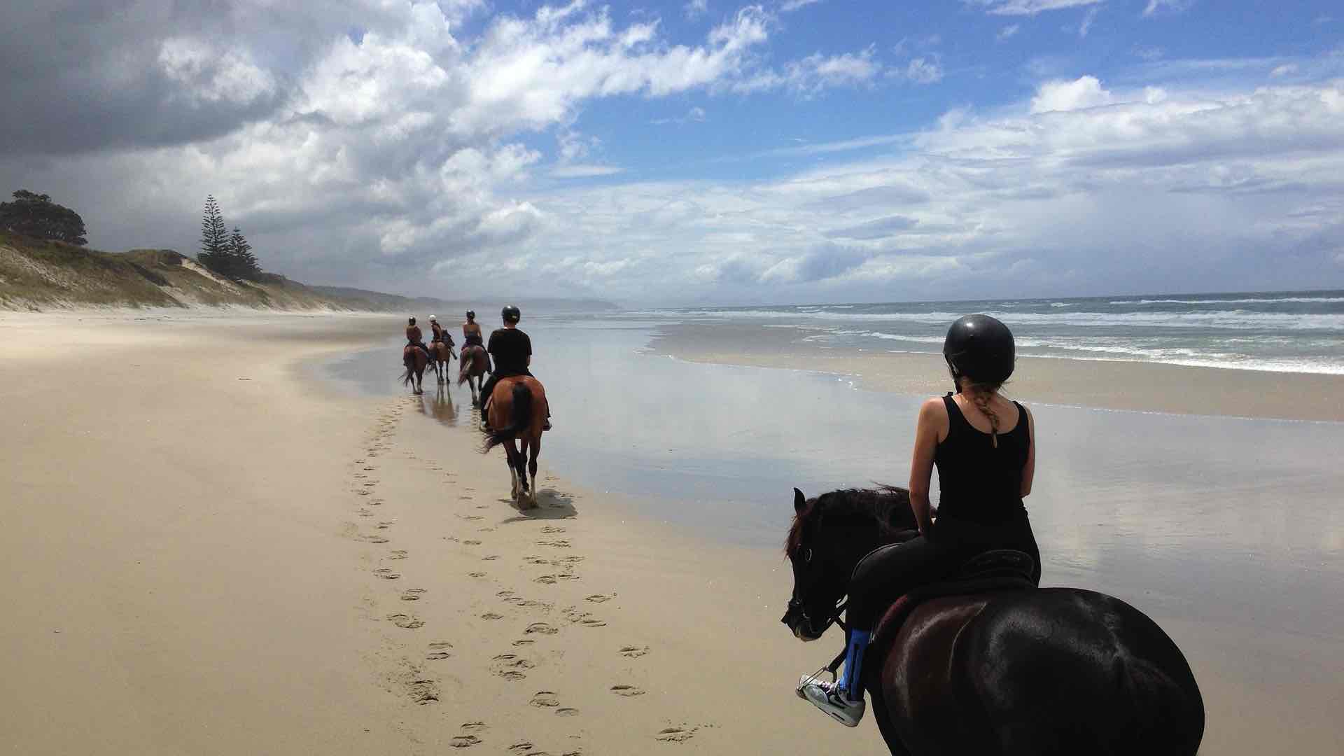
Hiking GPS app designed to discover all footpaths around the world

Record your trails while taking geo-tagged HD pictures of your adventures

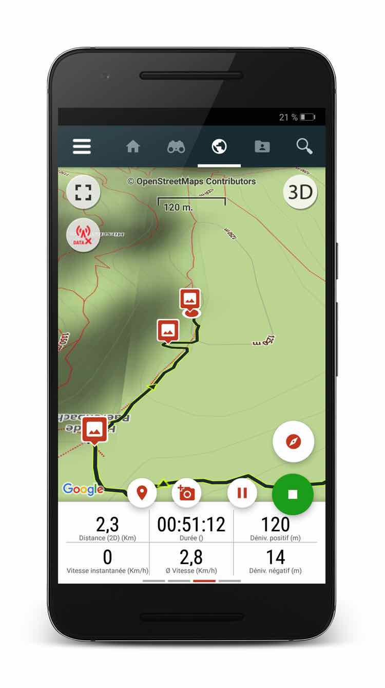
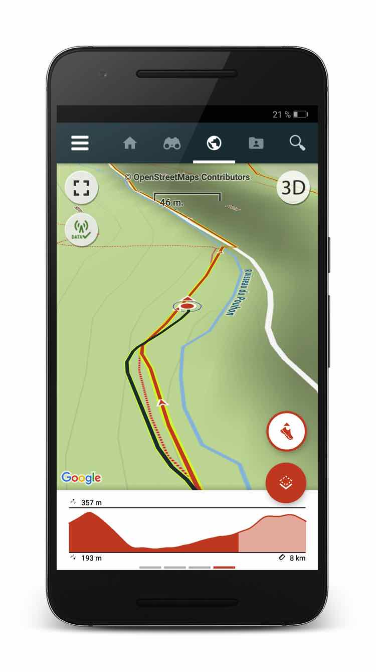
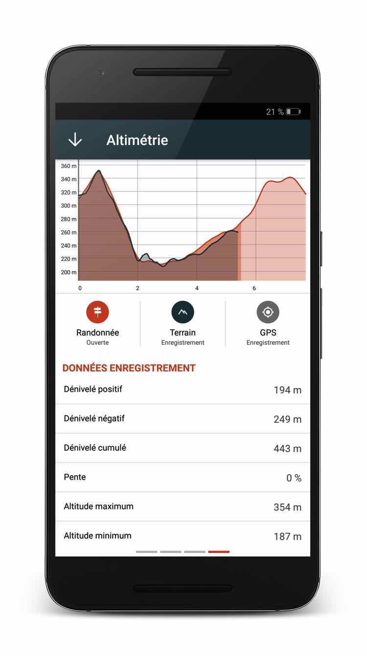
Distance, travelled Km-effort, average speed, calories burned, ...

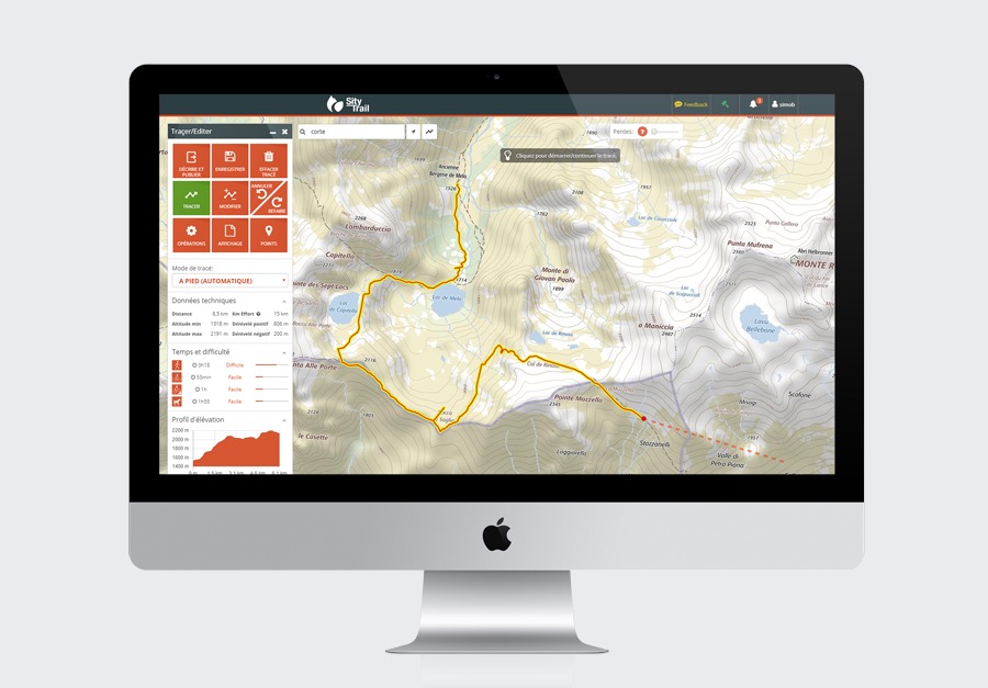
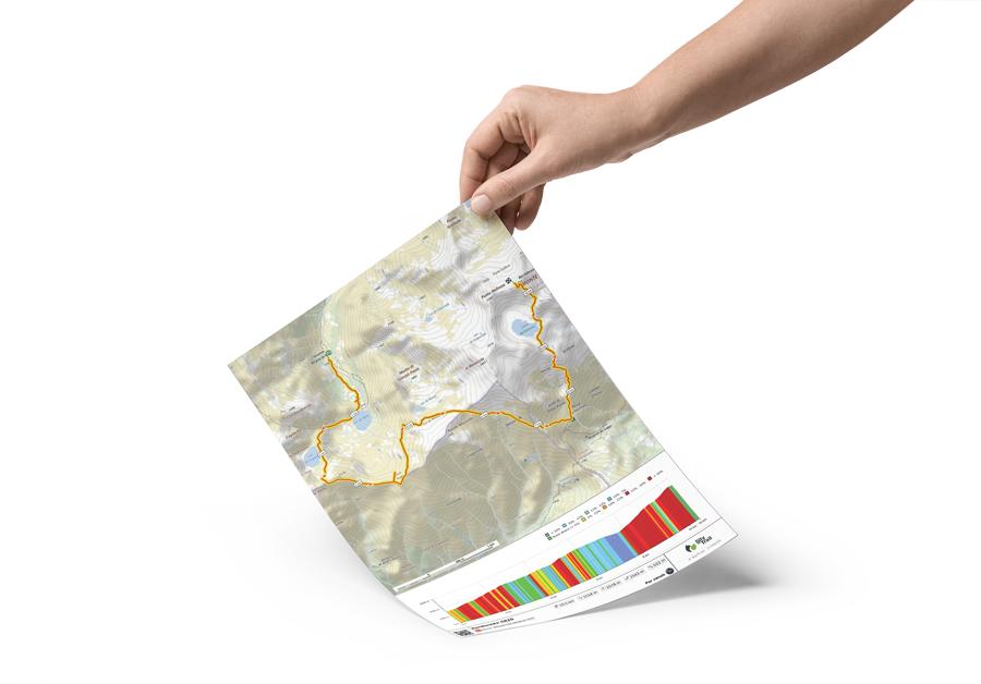
Accurate altimeter, computation of height difference and elevation profile

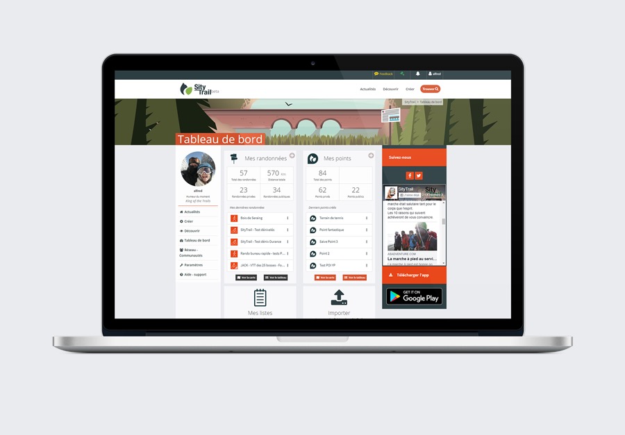
One account. Your data available everywhere.

Backup and synchronization of trails on your account

Simple creation of trails and points of interest

Sort and classify your trails in personal lists
Go further with PREMIUM!

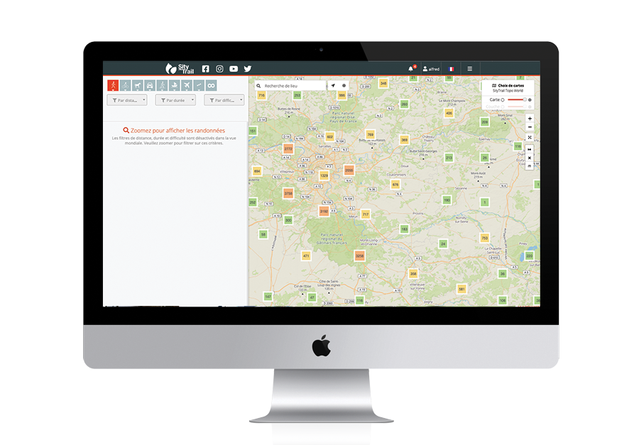
Access to all hikes in the SityTrail catalog.

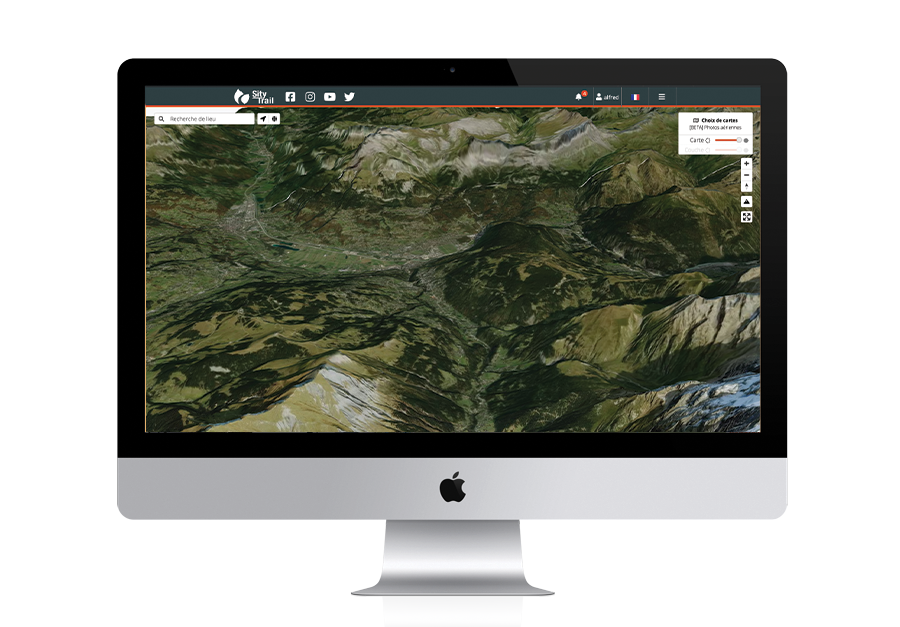
World topographic maps and/or downloadable IGN maps for offline use.

Prevent any issues with paper printing of the trails.

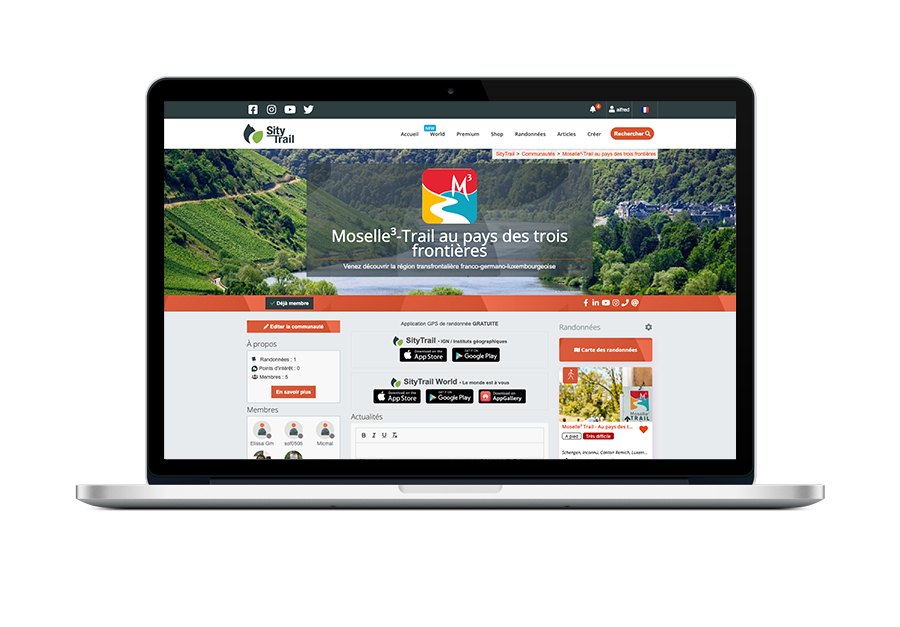
Create and manage your community or club.
Additional modules

SityTrail PRO
Discover our "PRO" plan especially designed for tourist operators and professionals
Camp sites, hotels, B&B, AirBnB, etc. event promoters or your local authority
A free and
and a paying plan
Camp sites, hotels, B&B, AirBnB, etc. event promoters or your local authority
A free and
and a paying plan