Kempten (Allgäu), Bavaria, On foot: Best trails, routes and walks

Kempten (Allgäu): Discover the best trails: 11 on foot. All these trails, routes and outdoor activities are available in our SityTrail applications for smartphones and tablets.
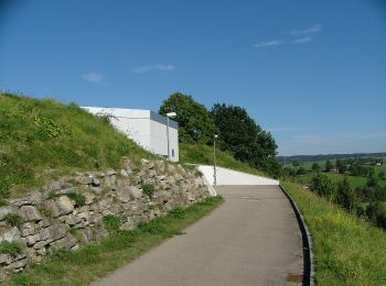

The best trails (11)

Trail On foot  - Mariaberg-Wanderung - Photo
On foot 12.348
Km
GUIDE+

On foot

Easy
, Bavaria, Kempten (Allgäu), Germany
12.3 km | 16.3 km-effort
3h 42min
296 m
297 m
Yes
SityTrail - itinéraires balisés pédestres

• Trail created by Gemeinde Wiggensbach. Symbol: weiße 3 auf grünem rechteckigem Grund
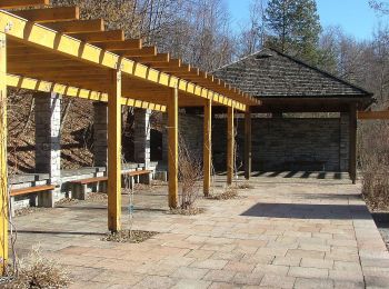
Trail On foot  - Kempten: Weitblick - Bergpanorama-Wanderung - Photo
On foot 10.056
Km
GUIDE+

On foot

Easy
, Bavaria, Kempten (Allgäu), Germany
10.1 km | 13.7 km-effort
3h 7min
276 m
276 m
Yes
SityTrail - itinéraires balisés pédestres

• Trail created by Stadt Kempten. Symbol: Weiße 3 auf grünem Grund
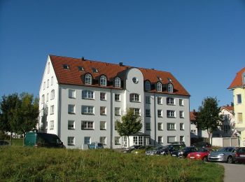
Trail On foot  - Kempten: Nordic Walking - Mariaberg - Photo
On foot 6.995
Km
GUIDE+

On foot

Easy
, Bavaria, Kempten (Allgäu), Germany
7 km | 9.8 km-effort
2h 13min
211 m
211 m
Yes
SityTrail - itinéraires balisés pédestres

• Trail created by Stadt Kempten. Symbol: Weiße 9 auf blauem Grund
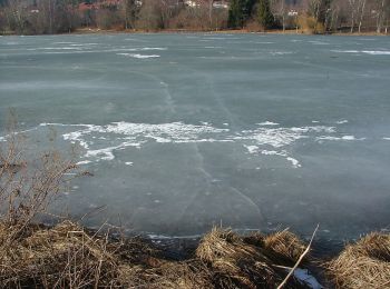
Trail On foot  - Kempten: Rundtour nördlicher Alpenrand - Photo
On foot 6.024
Km
GUIDE+

On foot

Easy
, Bavaria, Kempten (Allgäu), Germany
6 km | 7.5 km-effort
1h 41min
109 m
109 m
Yes
SityTrail - itinéraires balisés pédestres

• Trail created by Stadt Kempten. Symbol: Weiße 7 auf grünem Grund

Trail On foot  - Kempten: Nordic Walking - Bachtelweiher - Photo
On foot 6.301
Km
GUIDE+

On foot

Easy
, Bavaria, Kempten (Allgäu), Germany
6.3 km | 7.8 km-effort
1h 46min
115 m
111 m
Yes
SityTrail - itinéraires balisés pédestres

• Trail created by Stadt Kempten. Symbol: Weiße 10 auf blauem Grund

Trail On foot  - Kempten: Rundweg Kempten-Ost - Photo
On foot 5.989
Km
GUIDE+

On foot

Easy
, Bavaria, Kempten (Allgäu), Germany
6 km | 7.3 km-effort
1h 39min
98 m
97 m
Yes
SityTrail - itinéraires balisés pédestres

• Trail created by Stadt Kempten. Symbol: Weiße 6 auf orangem Grund

Trail On foot  - Kempten: Rund um Hirschdorf - Photo
On foot 11.18
Km
GUIDE+

On foot

Easy
, Bavaria, Kempten (Allgäu), Germany
11.2 km | 12.9 km-effort
2h 55min
129 m
130 m
Yes
SityTrail - itinéraires balisés pédestres

• Trail created by Stadt Kempten. Symbol: Weiße 8 auf grünem Grund

Trail On foot  - Kempten: Rundweg am Illerbogen - Photo
On foot 12.434
Km
GUIDE+

On foot

Easy
, Bavaria, Kempten (Allgäu), Germany
12.4 km | 14.2 km-effort
3h 14min
136 m
136 m
Yes
SityTrail - itinéraires balisés pédestres

• Trail created by Stadt Kempten. Symbol: Weiße 2 auf grünem Grund

Trail On foot  - Auf Kneipps Spuren - Photo
On foot 5.269
Km
GUIDE+

On foot

Easy
, Bavaria, Kempten (Allgäu), Germany
5.3 km | 6.1 km-effort
1h 23min
65 m
65 m
Yes
SityTrail - itinéraires balisés pédestres

• Trail created by Stadt Kempten. Symbol: Weiße 4 auf grünem Grund

Trail On foot  - Kempten: Entlang der Iller - Photo
On foot 8.085
Km
GUIDE+

On foot

Easy
, Bavaria, Kempten (Allgäu), Germany
8.1 km | 9.6 km-effort
2h 10min
114 m
114 m
Yes
SityTrail - itinéraires balisés pédestres

• Trail created by Stadt Kempten. Symbol: Weiße 1 auf grünem Grund

Trail On foot  - Kempten: Rundweg Kempten-West - Photo
On foot 4.021
Km
GUIDE+

On foot

Easy
, Bavaria, Kempten (Allgäu), Germany
4 km | 4.8 km-effort
1h 5min
57 m
55 m
Yes
SityTrail - itinéraires balisés pédestres

• Trail created by Stadt Kempten. Symbol: Weiße 5 auf orangem Grund

11 trails displayed on 11

FREE GPS app for hiking

Logo SityTrail SityTrail

IGN / Geographical institutes

Download SityTrail from the App Store Download SityTrail from Google Play

Logo SityTrail SityTrail World

The world is yours!

Download SityTrail from the App Store Download SityTrail from Google Play Download SityTrail on Huawei AppGallery

Activities

Close
My subscriptions