


9.5 km | 12.8 km-effort
Saxony-Anhalt: Discover the best trails: 1 walking and 220 on foot. All these trails, routes and outdoor activities are available in our SityTrail applications for smartphones and tablets.
On foot


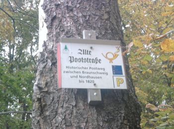
• Trail created by Harzklub Stolberg / Neustadt.
On foot
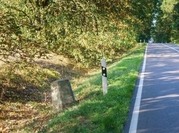
• Trail created by Naturpark Fläming.
On foot
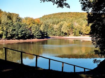
• Trail created by Biosphärenreservat Karstlandschaft Südharz.
On foot
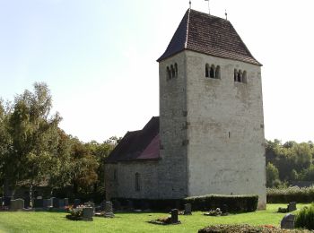
• Trail created by Naturpark SUT.
On foot
• Website: https://www.leuna.de/de/radwanderweg.html
On foot
• Trail created by Naturpark Saale-Unstrut-Triasland. In Planung
On foot
• Wegweisung wird nicht erhalten!
On foot
• Trail created by Geo Naturpark SUT.
On foot
• Trail created by Naturpark SUT.
On foot
• Trail created by Verbandsgemeinde Wethautal.
On foot
• Trail created by Verbandgemeinde Wethautal. Wanderweg in Planung
On foot
• Trail created by naturpark SUT. Wanderweg in Planung
On foot
• Trail created by Geo- Naturpark SUT. Website: http://www.naturpark-saale-unstrut.de/de/trias.html
On foot
• Trail created by Naturpark Saale-Unstrut-Triasland.
On foot
• Trail created by IG-Waldheit Lieskau. Symbol: Schwarze gekreuzte Hämmer auf weissem Rechteck Website: http://www.i...
On foot
• Trail created by Naturpark SUT.
On foot
• Trail created by Naturpark Saale-Unstrut-Triasland.
On foot
• Trail created by naturpark SUT.
On foot
• Trail created by Naturpark Saale Unstrut Triasland.
On foot
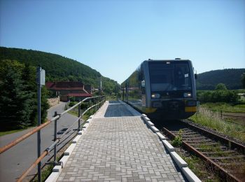
• Trail created by Naturpark Saale Unstrut Triasland. Website: http://www.unstrutbahn.de/joomla3/index.php
20 trails displayed on 221
FREE GPS app for hiking
 SityTrail
IGN / Geographical institutes
SityTrail World
The world is yours!