


10.6 km | 14.4 km-effort
Montsalvy: Discover the best trails: 5 walking, 3 running and 1 trail. All these trails, routes and outdoor activities are available in our SityTrail applications for smartphones and tablets.

Running


• montsalvy aubespeyre par le brougounet, le combal et retour
Walking
• par le goul
Walking
Trail
Running
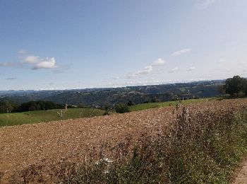
• après une vue sur les monts du cantal on observe l'aubrac et la vallée du goul avant d'admirer la "plaine" du veinaze...
Running
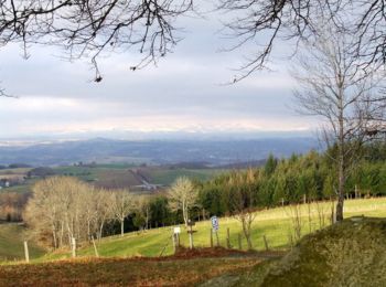
• après une vue sur les monts du cantal on observe l'aubrac et la vallée du goul avant d'admirer la "plaine" du veinaze...

Walking
Walking
Walking
9 trails displayed on 9
FREE GPS app for hiking
 SityTrail
IGN / Geographical institutes
SityTrail World
The world is yours!