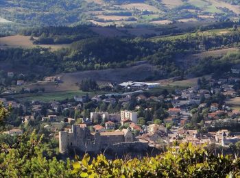
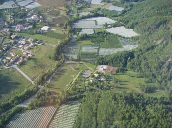
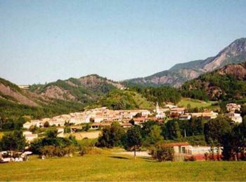
La Motte-du-Caire, Alpes-de-Haute-Provence, On foot: Best trails, routes and walks

La Motte-du-Caire: Discover the best trails: 2 on foot and 5 walking. All these trails, routes and outdoor activities are available in our SityTrail applications for smartphones and tablets.


The best trails (6)
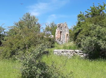
Trail Walking La Motte-du-Caire - LA MOTTE DU CAIRE .Le tour de la Blachere o - Photo
Walking 36.854
Km

Walking

Difficult
La Motte-du-Caire, Provence-Alpes-Côte d'Azur, Alpes-de-Haute-Provence, France
37 km | 67 km-effort
4h 0min
2199 m
2414 m
No
RobinMicheline

Trail Walking La Motte-du-Caire - Rome-36-LaMotteDuCaire-Tallard-20170905 - Photo
Walking 21.564
Km

Walking

Difficult
La Motte-du-Caire, Provence-Alpes-Côte d'Azur, Alpes-de-Haute-Provence, France
22 km | 33 km-effort
6h 41min
796 m
897 m
No
patrickdanilo

• ALTA-16-N°0402F36-GR653D

Trail Walking La Motte-du-Caire - Tour de la Blachère - La Motte Du Caire - Photo
Walking 13.094
Km

Walking

Difficult
La Motte-du-Caire, Provence-Alpes-Côte d'Azur, Alpes-de-Haute-Provence, France
13.1 km | 20 km-effort
3h 30min
536 m
540 m
Yes
tracegps

Trail Walking La Motte-du-Caire - Le sentier de démonstration  - La Motte du Caire - Photo
Walking 6.606
Km

Walking

Medium
La Motte-du-Caire, Provence-Alpes-Côte d'Azur, Alpes-de-Haute-Provence, France
6.6 km | 8.2 km-effort
2h 30min
121 m
121 m
Yes
tracegps

Trail On foot La Motte-du-Caire - Tour de la Blachere depart La Motte du Caire - Photo
On foot 12.986
Km

On foot

Medium
La Motte-du-Caire, Provence-Alpes-Côte d'Azur, Alpes-de-Haute-Provence, France
13 km | 20 km-effort
Unknown
548 m
545 m
Yes
claude nier

Trail On foot La Motte-du-Caire - La Motte du Caïre à Sisteron Chemin de Compostelle - Photo
On foot 36.79
Km

On foot

Very easy
La Motte-du-Caire, Provence-Alpes-Côte d'Azur, Alpes-de-Haute-Provence, France
37 km | 54 km-effort
Unknown
1249 m
1443 m
No
jll7513

Trail On foot La Motte-du-Caire - La Motte du Caïre à Sisteron Chemin de Compostelle - Photo
On foot 36.79
Km

On foot

Very easy
La Motte-du-Caire, Provence-Alpes-Côte d'Azur, Alpes-de-Haute-Provence, France
37 km | 54 km-effort
Unknown
1249 m
1443 m
No
jll7513

7 trails displayed on 6

FREE GPS app for hiking

Logo SityTrail SityTrail

IGN / Geographical institutes

Download SityTrail from the App Store Download SityTrail from Google Play

Logo SityTrail SityTrail World

The world is yours!

Download SityTrail from the App Store Download SityTrail from Google Play Download SityTrail on Huawei AppGallery

Activities

Close
My subscriptions