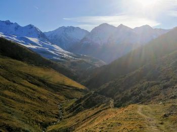
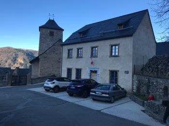
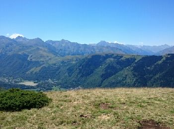
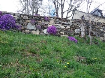
Mont, Hautespyrenees, On foot: Best trails, routes and walks

Mont: Discover the best trails: 1 on foot and 14 walking. All these trails, routes and outdoor activities are available in our SityTrail applications for smartphones and tablets.


The best trails (15)
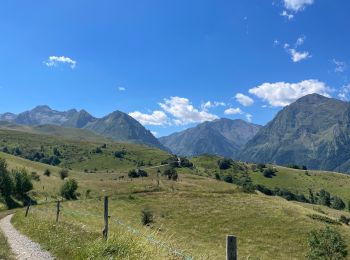
Trail Walking Mont - De Mont à Germ, pause à l’auberge et retour - Photo
Walking 7.426
Km

Walking

Medium
Mont, Occitania, Hautespyrenees, France
7.4 km | 10.8 km-effort
2h 29min
251 m
251 m
Yes
CooolGeorges

Trail On foot Mont - Mont  la boucle de Mont mettre en favoris - Photo
On foot 10.792
Km
GUIDE

On foot

Easy
Mont, Occitania, Hautespyrenees, France
10.8 km | 17.9 km-effort
6h 0min
534 m
534 m
Yes
marmotte65

Trail Walking Mont - Le long de la crête au-dessus de Mont - Photo
Walking 4.694
Km

Walking

Medium
Mont, Occitania, Hautespyrenees, France
4.7 km | 9.2 km-effort
1h 22min
338 m
337 m
Yes
zazibelle

Trail Walking Mont - Loudanvielle jour 5 - Photo
Walking 11.85
Km

Walking

Mont, Occitania, Hautespyrenees, France
11.8 km | 19.4 km-effort
4h 47min
565 m
563 m
Yes
dudu85

Trail Walking Mont - Saint Calixte - Photo
Walking 7.43
Km

Walking

Easy
Mont, Occitania, Hautespyrenees, France
7.4 km | 11.6 km-effort
2h 35min
315 m
316 m
Yes
zazibelle

Trail Walking Mont - chemin des estives - Photo
Walking 11.58
Km

Walking

Easy
Mont, Occitania, Hautespyrenees, France
11.6 km | 19.2 km-effort
3h 25min
569 m
568 m
Yes
zazibelle

Trail Walking Mont - Saint Calixte - Photo
Walking 7.042
Km

Walking

Easy
Mont, Occitania, Hautespyrenees, France
7 km | 11.2 km-effort
2h 27min
310 m
312 m
Yes
zazibelle

Trail Walking Mont - Pic du Lion, sommets de l'Aigle et du Pouy Louby  - Photo
Walking 13.296
Km

Walking

Medium
Mont, Occitania, Hautespyrenees, France
13.3 km | 26 km-effort
6h 35min
930 m
931 m
Yes
chrisgps

Trail Walking Mont - Mont - Photo
Walking 10.788
Km

Walking

Mont, Occitania, Hautespyrenees, France
10.8 km | 15.9 km-effort
2h 36min
385 m
393 m
Yes
essaimel201

Trail Walking Mont - Boucle de Mont - Photo
Walking 11.068
Km

Walking

Medium
Mont, Occitania, Hautespyrenees, France
11.1 km | 18.8 km-effort
5h 30min
581 m
582 m
Yes
jysc238

Trail Walking Mont - les églises - Photo
Walking 13.198
Km

Walking

Easy
Mont, Occitania, Hautespyrenees, France
13.2 km | 21 km-effort
5h 3min
581 m
580 m
Yes
Papamoju

• belle rando

Trail Walking Mont - 2023-07-29_07h59m27_Boucle_de_Mont_a_Cazaux_Frechet - Photo
Walking 4.839
Km

Walking

Medium
Mont, Occitania, Hautespyrenees, France
4.8 km | 7.5 km-effort
1h 42min
202 m
203 m
Yes
jpb83

Trail Walking Mont - mont  - Photo
Walking 12.902
Km

Walking

Very difficult
Mont, Occitania, Hautespyrenees, France
12.9 km | 23 km-effort
3h 56min
734 m
742 m
Yes
Nosaro

Trail Walking Mont - Le Chemin des Estives - Pyrénées2vallées - Photo
Walking 11.241
Km

Walking

Difficult
Mont, Occitania, Hautespyrenees, France
11.2 km | 19 km-effort
4h 18min
583 m
576 m
Yes
doume82

Trail Walking Mont - Col de Sahiestre  16 nov. 2017 09:56:11 - Photo
Walking 10.297
Km

Walking

Medium
Mont, Occitania, Hautespyrenees, France
10.3 km | 21 km-effort
4h 5min
768 m
777 m
Yes
chrisgps

15 trails displayed on 15

FREE GPS app for hiking

Logo SityTrail SityTrail

IGN / Geographical institutes

Download SityTrail from the App Store Download SityTrail from Google Play

Logo SityTrail SityTrail World

The world is yours!

Download SityTrail from the App Store Download SityTrail from Google Play Download SityTrail on Huawei AppGallery

Activities

Close
My subscriptions