


4.7 km | 11.3 km-effort
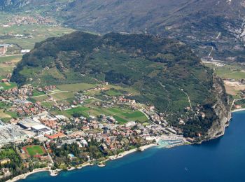
Riva del Garda: Discover the best trails: 6 on foot and 2 walking. All these trails, routes and outdoor activities are available in our SityTrail applications for smartphones and tablets.
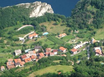
On foot


• Trail created by Società degli Alpinisti Tridentini. Website: http://www.sat.tn.it/
On foot
• Trail created by Società degli Alpinisti Tridentini. Website: http://www.sat.tn.it/

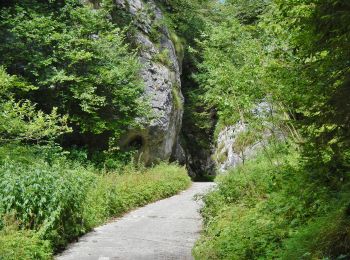
On foot
• Trail created by Società degli Alpinisti Tridentini. Website: http://www.sat.tn.it/
On foot
• Trail created by Società degli Alpinisti Tridentini. Website: http://www.sat.tn.it/
On foot
• Trail created by Società degli Alpinisti Tridentini. Website: http://www.sat.tn.it/
On foot
• Trail created by Società degli Alpinisti Tridentini. Website: http://www.sat.tn.it/

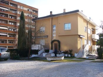
Walking
• From Riva go up to the Bastione. Then take the path nr. 404 to Santa Barbara chapel. The return will be done by the s...
Walking
8 trails displayed on 8
FREE GPS app for hiking
 SityTrail
IGN / Geographical institutes
SityTrail World
The world is yours!