


16.8 km | 27 km-effort
Macerata: Discover the best trails: 90 on foot and 1 walking. All these trails, routes and outdoor activities are available in our SityTrail applications for smartphones and tablets.
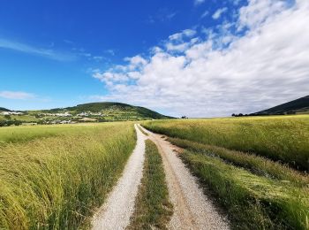
On foot


• Sentiero Italia CAI 2019
On foot
• Sentiero Italia CAI 2019
On foot
• Trail created by Club Alpino Italiano. Symbol: red and white stripes

On foot
• Trail created by Club Alpino Italiano. Symbol: red and white stripes
On foot
• Trail created by Club Alpino Italiano. Symbol: red and white stripes
On foot
• Trail created by Club Alpino Italiano. Symbol: red and white stripes
On foot
• Trail created by Club Alpino Italiano. Symbol: red and white stripes
On foot
• Trail created by Club Alpino Italiano. Symbol: red and white stripes

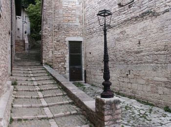
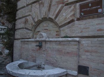
On foot
• Trail created by Fondazione Giustiniani Bandini.
Walking

On foot

On foot

On foot

On foot
On foot
• Trail created by Club Alpino Italiano. Symbol: red and white stripes
On foot
• Trail created by Club Alpino Italiano. Symbol: red and white stripes
On foot
• Trail created by Club Alpino Italiano. Symbol: red and white stripes
On foot
• Trail created by Club Alpino Italiano. Symbol: red and white stripes
On foot
• Trail created by Club Alpino Italiano. Symbol: red and white stripes

On foot
• Symbol: orange flag
20 trails displayed on 91
FREE GPS app for hiking
 SityTrail
IGN / Geographical institutes
SityTrail World
The world is yours!