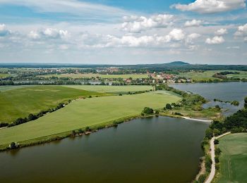
Landkreis Leipzig, Saxony: Best trails, routes and walks

Landkreis Leipzig: Discover the best trails: 21 hiking trails. All these trails, routes and outdoor activities are available in our SityTrail applications for smartphones and tablets.


The best trails (21)
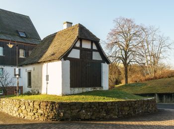
Trail On foot Lossatal - Rundweg Hohburg - Photo
On foot 3.219
Km
PRO

On foot

Easy
Lossatal, Saxony, Landkreis Leipzig, Germany
3.2 km | 4.5 km-effort
1h 0min
93 m
94 m
Yes
SityTrail - itinéraires balisés pédestres

• Symbol: Weißes Kreuz auf grünen Wegweisern
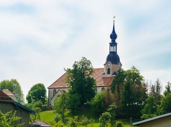
Trail On foot Colditz - Heimatweg
On foot 9.512
Km
PRO

On foot

Easy
Colditz, Saxony, Landkreis Leipzig, Germany
9.5 km | 11 km-effort
2h 29min
110 m
110 m
Yes
SityTrail - itinéraires balisés pédestres

• Trail created by Heimatverein Schönbach e. V.. Website: https://www.heimatverein-schoenbach.de/index.php/projekte/...
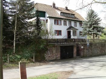
Trail On foot Geithain - Wanderwege Kohrener Land - Photo
On foot 4.842
Km
PRO

On foot

Easy
Geithain, Saxony, Landkreis Leipzig, Germany
4.8 km | 5.6 km-effort
1h 16min
51 m
68 m
No
SityTrail - itinéraires balisés pédestres

• Symbol: grüner Balken auf weissem Grund
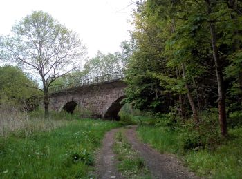
Trail On foot Borna - Via Porphyria Gesamtstrecke - Photo
On foot 85.705
Km
PRO

On foot

Very difficult
Borna, Saxony, Landkreis Leipzig, Germany
86 km | 104 km-effort
23h 34min
1370 m
1303 m
No
SityTrail - itinéraires balisés pédestres

• Trail created by Kirche im Land des Roten Porphyr e. V.. Symbol: Fensterrose Website: https://www.via-porphyria.de/
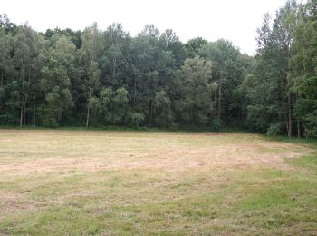
Trail On foot Parthenstein - Rund um das Naturfreundehaus - Photo
On foot 10.81
Km
PRO

On foot

Easy
Parthenstein, Saxony, Landkreis Leipzig, Germany
10.8 km | 12.7 km-effort
2h 52min
140 m
140 m
Yes
SityTrail - itinéraires balisés pédestres

• Symbol: yellow bar

Trail On foot Markkleeberg - Prödeler Weg - Photo
On foot 3.253
Km
PRO

On foot

Easy
Markkleeberg, Saxony, Landkreis Leipzig, Germany
3.3 km | 3.5 km-effort
47min
17 m
18 m
Yes
SityTrail - itinéraires balisés pédestres

• Symbol: gelber Hase

Trail On foot Grimma - Rundwanderung Döllnitzsee - Photo
On foot 7.61
Km
PRO

On foot

Easy
Grimma, Saxony, Landkreis Leipzig, Germany
7.6 km | 8.6 km-effort
1h 56min
71 m
72 m
Yes
SityTrail - itinéraires balisés pédestres

• Symbol: Weiße 7 auf blauen Kreis

Trail On foot Lossatal - Thammenhain-Kobershain - Photo
On foot 4.746
Km
PRO

On foot

Easy
Lossatal, Saxony, Landkreis Leipzig, Germany
4.7 km | 5.2 km-effort
1h 10min
25 m
50 m
No
SityTrail - itinéraires balisés pédestres

• Symbol: Grüner Balken auf weißem Grund
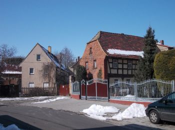
Trail On foot Pegau - Floßgraben Wanderweg - Photo
On foot 10.51
Km
PRO

On foot

Easy
Pegau, Saxony, Landkreis Leipzig, Germany
10.5 km | 11.2 km-effort
2h 33min
54 m
54 m
Yes
SityTrail - itinéraires balisés pédestres

Trail On foot Neukieritzsch - Rundweg Hainer See - Photo
On foot 15.774
Km
PRO

On foot

Easy
Neukieritzsch, Saxony, Landkreis Leipzig, Germany
15.8 km | 17 km-effort
3h 52min
94 m
93 m
Yes
SityTrail - itinéraires balisés pédestres

Trail On foot Grimma - Ww durch den Thümmlitzwald (Teilstück des markierten Wanderweges) - Photo
On foot 4.724
Km
PRO

On foot

Easy
Grimma, Saxony, Landkreis Leipzig, Germany
4.7 km | 5.8 km-effort
1h 18min
80 m
68 m
No
SityTrail - itinéraires balisés pédestres

• Symbol: roter Strich, weißer Grund

Trail On foot Colditz - Ww Am Rande des Thümmlitzwaldes - Photo
On foot 3.292
Km
PRO

On foot

Easy
Colditz, Saxony, Landkreis Leipzig, Germany
3.3 km | 4 km-effort
54min
60 m
30 m
No
SityTrail - itinéraires balisés pédestres

• Symbol: grüner Strich, weißer Grund

Trail On foot Grimma - Ww Rundweg Thümmlitzwald - Photo
On foot 10.42
Km
PRO

On foot

Easy
Grimma, Saxony, Landkreis Leipzig, Germany
10.4 km | 12.2 km-effort
2h 46min
138 m
134 m
No
SityTrail - itinéraires balisés pédestres

• Symbol: gelber Strich, weißer Grund

Trail On foot Frohburg - Via Porphyria Etappe 5 - Photo
On foot 15.607
Km
PRO

On foot

Easy
Frohburg, Saxony, Landkreis Leipzig, Germany
15.6 km | 18.6 km-effort
4h 13min
225 m
217 m
No
SityTrail - itinéraires balisés pédestres

• Trail created by Kirche im Land des Roten Porphyr e. V.. Symbol: Fensterrose

Trail On foot Frohburg - Via Porphyria Etappe 4 - Photo
On foot 20.726
Km
PRO

On foot

Medium
Frohburg, Saxony, Landkreis Leipzig, Germany
21 km | 24 km-effort
5h 28min
263 m
218 m
No
SityTrail - itinéraires balisés pédestres

• Trail created by Kirche im Land des Roten Porphyr e. V.. Symbol: Fensterrose

Trail On foot Borna - Via Porphyria Etappe 3 - Photo
On foot 7.257
Km
PRO

On foot

Easy
Borna, Saxony, Landkreis Leipzig, Germany
7.3 km | 7.9 km-effort
1h 47min
46 m
61 m
No
SityTrail - itinéraires balisés pédestres

• Trail created by Kirche im Land des Roten Porphyr e. V.. Symbol: Fensterrose

Trail On foot Frohburg - Via Porphyria Etappe 2 - Photo
On foot 8.173
Km
PRO

On foot

Easy
Frohburg, Saxony, Landkreis Leipzig, Germany
8.2 km | 9 km-effort
2h 2min
55 m
69 m
No
SityTrail - itinéraires balisés pédestres

• Trail created by Kirche im Land des Roten Porphyr e. V.. Symbol: Fensterrose

Trail On foot Geithain - Via Porphyria Etappe 1 - Photo
On foot 21.881
Km
PRO

On foot

Medium
Geithain, Saxony, Landkreis Leipzig, Germany
22 km | 25 km-effort
5h 36min
204 m
227 m
No
SityTrail - itinéraires balisés pédestres

• Trail created by Kirche im Land des Roten Porphyr e. V.. Symbol: Fensterrose

Trail On foot Grimma - Muldental-Wanderweg - Photo
On foot 7.568
Km
PRO

On foot

Easy
Grimma, Saxony, Landkreis Leipzig, Germany
7.6 km | 8.5 km-effort
1h 56min
75 m
67 m
No
SityTrail - itinéraires balisés pédestres

• Symbol: Roter Balken auf weißem Grund

Trail On foot Parthenstein - Naturfreundeweg zur Roten Bank - Photo
On foot 3.667
Km
PRO

On foot

Easy
Parthenstein, Saxony, Landkreis Leipzig, Germany
3.7 km | 4.5 km-effort
1h 1min
64 m
61 m
Yes
SityTrail - itinéraires balisés pédestres

20 trails displayed on 21

FREE GPS app for hiking

Logo SityTrail SityTrail

IGN / Geographical institutes

Download SityTrail from the App Store Download SityTrail from Google Play

Logo SityTrail SityTrail World

The world is yours!

Download SityTrail from the App Store Download SityTrail from Google Play Download SityTrail on Huawei AppGallery

Activities

Nearby regions

Close
My subscriptions