Obertrubach, Landkreis Forchheim: Best trails, routes and walks

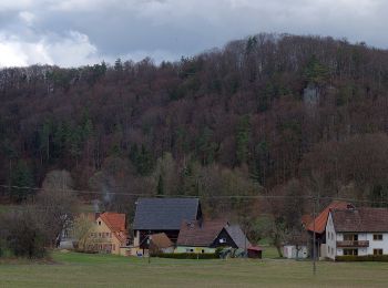
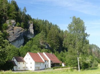
Obertrubach: Discover the best trails: 8 hiking trails. All these trails, routes and outdoor activities are available in our SityTrail applications for smartphones and tablets.


The best trails (8)

Trail On foot Obertrubach - Obertrubach
On foot 8.725
Km
PRO

On foot

Easy
Obertrubach, Bavaria, Landkreis Forchheim, Germany
8.7 km | 11.5 km-effort
2h 36min
209 m
205 m
Yes
SityTrail - itinéraires balisés pédestres

• Trail created by nicht bekannt. abgeschlossen (Feb. 2013 by cycling_zno) Symbol: Grünes Blatt auf weißem Grund

Trail On foot Obertrubach - Geschwand-Kleingesee - Photo
On foot 3.198
Km
PRO

On foot

Easy
Obertrubach, Bavaria, Landkreis Forchheim, Germany
3.2 km | 3.9 km-effort
53min
50 m
66 m
No
SityTrail - itinéraires balisés pédestres

• Trail created by nicht bekannt. abgeschlossen (Feb. 2013 by cycling_zno) Symbol: Blauer Balken auf weißem Grund

Trail On foot Obertrubach - Trubachweg - Photo
On foot 11.276
Km
PRO

On foot

Easy
Obertrubach, Bavaria, Landkreis Forchheim, Germany
11.3 km | 16 km-effort
3h 37min
356 m
338 m
No
SityTrail - itinéraires balisés pédestres

• Trail created by nicht bekannt. abgeschlossen (Feb. 2013 by cycling_zno) Symbol: Schmetterling auf weißem Grund

Trail On foot Obertrubach - Geschwand Rundwanderweg Signalstein - Photo
On foot 4.276
Km
PRO

On foot

Easy
Obertrubach, Bavaria, Landkreis Forchheim, Germany
4.3 km | 5.9 km-effort
1h 19min
116 m
128 m
Yes
SityTrail - itinéraires balisés pédestres

• Trail created by Fränkische Schweiz Verein. abgeschlossen (Feb. 2013 by cycling_zno) Symbol: Roter Ring auf weißem ...

Trail On foot Obertrubach - Bärnfels Rundwanderweg Leienfelser Wald - Photo
On foot 7.941
Km
PRO

On foot

Easy
Obertrubach, Bavaria, Landkreis Forchheim, Germany
7.9 km | 10.6 km-effort
2h 25min
203 m
201 m
Yes
SityTrail - itinéraires balisés pédestres

• Trail created by Fränkische Schweiz Verein. abgeschlossen (Feb. 2013 by cycling_zno) Symbol: Gelbe Spitze auf weiße...

Trail On foot Obertrubach - Bärnfels Rundwanderweg Herzogwind - Photo
On foot 4.144
Km
PRO

On foot

Easy
Obertrubach, Bavaria, Landkreis Forchheim, Germany
4.1 km | 5.5 km-effort
1h 14min
100 m
99 m
Yes
SityTrail - itinéraires balisés pédestres

• Trail created by Fränkische Schweiz Verein. abgeschlossen (Feb. 2013 by cycling_zno) Symbol: Grüner Ring auf weißem...

Trail On foot Obertrubach - Obertrubach
On foot 6.335
Km
PRO

On foot

Easy
Obertrubach, Bavaria, Landkreis Forchheim, Germany
6.3 km | 10 km-effort
2h 16min
290 m
227 m
No
SityTrail - itinéraires balisés pédestres

• Trail created by nicht bekannt. abgeschlossen (Feb. 2013 by cycling_zno) Symbol: Roter Ring auf weißem Grund

Trail On foot Obertrubach - Geschwand Rundwanderweg Franzosenstein - Photo
On foot 3.323
Km
PRO

On foot

Easy
Obertrubach, Bavaria, Landkreis Forchheim, Germany
3.3 km | 4.6 km-effort
1h 2min
95 m
91 m
Yes
SityTrail - itinéraires balisés pédestres

• Trail created by Fränkische Schweiz Verein. abgeschlossen (Feb. 2013 by cycling_zno) Symbol: Blauer Ring auf weißem...

8 trails displayed on 8

FREE GPS app for hiking

Logo SityTrail SityTrail

IGN / Geographical institutes

Download SityTrail from the App Store Download SityTrail from Google Play

Logo SityTrail SityTrail World

The world is yours!

Download SityTrail from the App Store Download SityTrail from Google Play Download SityTrail on Huawei AppGallery

Activities

Close
My subscriptions