Brühl, Rhein-Erft-Kreis: Best trails, routes and walks

Brühl: Discover the best trails: 4 hiking trails. All these trails, routes and outdoor activities are available in our SityTrail applications for smartphones and tablets.


The best trails (4)

Trail On foot Brühl - Klüttenweg - Photo
On foot 16.84
Km
PRO

On foot

Easy
Brühl, North Rhine-Westphalia, Rhein-Erft-Kreis, Germany
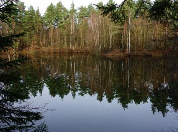
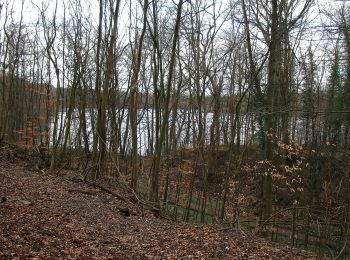
16.8 km | 19.1 km-effort
4h 20min
168 m
170 m
Yes
SityTrail - itinéraires balisés pédestres

• Trail created by Naturpark Rheinland. osmc:symbol KL statt Original großes "K" und kleines "L", da dies sonst mit de...

Trail On foot Brühl - Ville A6 - Photo
On foot 5.62
Km
PRO

On foot

Easy
Brühl, North Rhine-Westphalia, Rhein-Erft-Kreis, Germany
5.6 km | 6.5 km-effort
1h 28min
63 m
63 m
Yes
SityTrail - itinéraires balisés pédestres

• Trail created by Eifelverein. Symbol: schwarze Schrift A6 auf weißem Grund

Trail On foot Brühl - Ville A11 - Photo
On foot 8.611
Km
PRO

On foot

Easy
Brühl, North Rhine-Westphalia, Rhein-Erft-Kreis, Germany
8.6 km | 9.7 km-effort
2h 11min
78 m
78 m
Yes
SityTrail - itinéraires balisés pédestres

• Trail created by Eifelverein. Symbol: schwarze Schrift auf weißem Grund A11

Trail Walking Brühl - MJW 1-2 - Photo
Walking 13.896
Km

Walking

Easy
Brühl, North Rhine-Westphalia, Rhein-Erft-Kreis, Germany
13.9 km | 16.4 km-effort
3h 36min
201 m
151 m
No
hubbi

4 trails displayed on 4

FREE GPS app for hiking

Logo SityTrail SityTrail

IGN / Geographical institutes

Download SityTrail from the App Store Download SityTrail from Google Play

Logo SityTrail SityTrail World

The world is yours!

Download SityTrail from the App Store Download SityTrail from Google Play Download SityTrail on Huawei AppGallery

Activities

Close
My subscriptions