Braubach, Rhein-Lahn-Kreis: Best trails, routes and walks

Braubach: Discover the best trails: 9 hiking trails. All these trails, routes and outdoor activities are available in our SityTrail applications for smartphones and tablets.


The best trails (9)
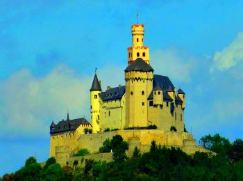
Trail On foot Braubach - Rundwanderweg Buchenweg Braubach - Photo
On foot 7.739
Km
PRO

On foot

Easy
Braubach, Rhineland-Palatinate, Rhein-Lahn-Kreis, Germany
7.7 km | 10.9 km-effort
2h 29min
221 m
295 m
No
SityTrail - itinéraires balisés pédestres

• Symbol: Hellgrünes aufrechtstehendes Buchenblatt mit Stiel
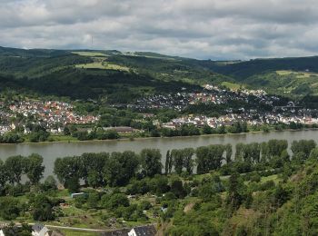
Trail On foot Braubach - Rundwanderweg Braubach: B1 Kerkerts-Oberhohl-Schlierbachtal - Photo
On foot 3.072
Km
PRO

On foot

Easy
Braubach, Rhineland-Palatinate, Rhein-Lahn-Kreis, Germany
3.1 km | 5.2 km-effort
1h 11min
212 m
7 m
No
SityTrail - itinéraires balisés pédestres

• Trail created by Forstrevier Braubach - Forstamt Lahnstein. Symbol: blaues "B1" auf weißem Grund.

Trail On foot Braubach - Rundwanderweg Panoramaweg Braubach - Photo
On foot 7.296
Km
PRO

On foot

Easy
Braubach, Rhineland-Palatinate, Rhein-Lahn-Kreis, Germany
7.3 km | 10.3 km-effort
2h 20min
222 m
234 m
No
SityTrail - itinéraires balisés pédestres

• Symbol: Dunkle orange Sonne mit Strahlen auf weißem Grund

Trail On foot Braubach - Rundwanderweg Grubenweg (Bergwerkswanderweg) Braubach - Photo
On foot 4.114
Km
PRO

On foot

Easy
Braubach, Rhineland-Palatinate, Rhein-Lahn-Kreis, Germany
4.1 km | 6.4 km-effort
1h 26min
167 m
173 m
Yes
SityTrail - itinéraires balisés pédestres

• Symbol: symbolisierte schwarze Lore auf weißem Grund (Schienenfahrzeug zum Transport und abkippen von Schüttgut)
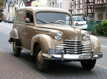
Trail On foot Braubach - Rundwanderweg Burgenweg Braubach - Photo
On foot 4.386
Km
PRO

On foot

Easy
Braubach, Rhineland-Palatinate, Rhein-Lahn-Kreis, Germany
4.4 km | 6.7 km-effort
1h 31min
173 m
170 m
Yes
SityTrail - itinéraires balisés pédestres

• Dieser Rundwanderweg wurde original nach der Wegbeschreibung der Quelle angelegt (2019-12-08). Symbol: blaues Quadra...
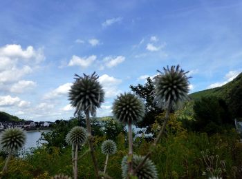
Trail On foot Braubach - Rundwanderweg Braubach: B7 Dinkholder Tal-Martinskapelle - Photo
On foot 6.028
Km
PRO

On foot

Easy
Braubach, Rhineland-Palatinate, Rhein-Lahn-Kreis, Germany
6 km | 9 km-effort
2h 3min
219 m
249 m
No
SityTrail - itinéraires balisés pédestres

• Trail created by Forstrevier Braubach - Forstamt Lahnstein. Symbol: gelbes "B7" auf weißem Grund.

Trail On foot Braubach - Rundwanderweg Braubach: B6 Salzborn-Spalt-Luginsland - Photo
On foot 8.814
Km
PRO

On foot

Easy
Braubach, Rhineland-Palatinate, Rhein-Lahn-Kreis, Germany
8.8 km | 12.6 km-effort
2h 52min
285 m
288 m
Yes
SityTrail - itinéraires balisés pédestres

• Trail created by Forstrevier Braubach - Forstamt Lahnstein. Symbol: violette "B6" auf weißem Grund.

Trail On foot Braubach - Rundwanderweg Braubach: B5 Pankert-Ermenstiel-Drei Kamine - Photo
On foot 3.93
Km
PRO

On foot

Easy
Braubach, Rhineland-Palatinate, Rhein-Lahn-Kreis, Germany
3.9 km | 6.3 km-effort
1h 25min
204 m
95 m
No
SityTrail - itinéraires balisés pédestres

• Trail created by Forstrevier Braubach - Forstamt Lahnstein. Symbol: orangenes "B5" auf weißem Grund.

Trail On foot Braubach - Rheinsteig [Braubach - Kramp-Bornhofen] - Photo
On foot 18.431
Km
PRO

On foot

Medium
Braubach, Rhineland-Palatinate, Rhein-Lahn-Kreis, Germany
18.4 km | 28 km-effort
6h 25min
783 m
611 m
No
SityTrail - itinéraires balisés pédestres

9 trails displayed on 9

FREE GPS app for hiking

Logo SityTrail SityTrail

IGN / Geographical institutes

Download SityTrail from the App Store Download SityTrail from Google Play

Logo SityTrail SityTrail World

The world is yours!

Download SityTrail from the App Store Download SityTrail from Google Play Download SityTrail on Huawei AppGallery

Activities

Close
My subscriptions