


6.4 km | 7 km-effort
Lampertheim: Discover the best trails: 13 hiking trails. All these trails, routes and outdoor activities are available in our SityTrail applications for smartphones and tablets.

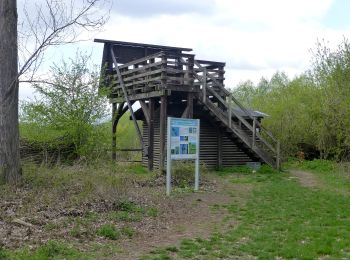
On foot


• Trail created by Geo-Naturpark Bergstraße-Odenwald. Symbol: Yellow 2 in yellow circle

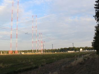
On foot
• Trail created by Geo-Naturpark Bergstraße-Odenwald. Symbol: Yellow 3 in yellow circle
On foot
• Trail created by Geo-Naturpark Bergstraße-Odenwald. Symbol: Yellow 4 in yellow circle

On foot
• Trail created by Geo-Naturpark Bergstraße-Odenwald. Symbol: Yellow 3 in yellow circle
On foot
• Trail created by Geo-Naturpark Bergstraße-Odenwald. Symbol: yellow 1 in a circle

On foot
• Trail created by Geo-Naturpark Bergstraße-Odenwald. Symbol: Yellow 1 in yellow circle

On foot
• Trail created by Geo-Naturpark Bergstraße-Odenwald. Symbol: Yellow 4 in yellow circle

On foot
• Trail created by Geo-Naturpark Bergstraße-Odenwald. Ausgehend vom Parkplatz Pechofen Symbol: Yellow 3 in yellow cir...
On foot
• Trail created by Geo-Naturpark Bergstraße-Odenwald. Symbol: Yellow 5 in yellow circle

On foot
• Trail created by Geo-Naturpark Bergstraße-Odenwald. Symbol: Yellow 3 in yellow circle

On foot
• Trail created by Geo-Naturpark Bergstraße-Odenwald. Symbol: Yellow 1 in yellow circle
On foot
• Trail created by Geo-Naturpark Bergstraße-Odenwald. Symbol: Yellow 2 in yellow circle
On foot
• Trail created by Geo-Naturpark Bergstraße-Odenwald. Symbol: Yellow 6 in yellow circle
13 trails displayed on 13
FREE GPS app for hiking
 SityTrail
IGN / Geographical institutes
SityTrail World
The world is yours!