Vauciennes, Oise: Best trails, routes and walks

Vauciennes: Discover the best trails: 1 hiking trails. All these trails, routes and outdoor activities are available in our SityTrail applications for smartphones and tablets.


The best trails (1)

Trail Walking Vauciennes - en forêt de Retz_71_Chavres_carrefour de la Chapelle de Montigny_AR - Photo
Walking 18.628
Km

Walking

Difficult
Vauciennes, Hauts-de-France, Oise, France
18.6 km | 22 km-effort
6h 10min
255 m
255 m
Yes
en forêt de Retz

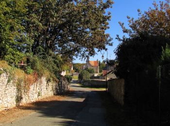
• voir aussi mon blog: http://foret-de-retz.over-blog.com/ 10/ 2018 rando difficile (trouver le chemin qui mène au ca...

1 trails displayed on 1

FREE GPS app for hiking

Logo SityTrail SityTrail

IGN / Geographical institutes

Download SityTrail from the App Store Download SityTrail from Google Play

Logo SityTrail SityTrail World

The world is yours!

Download SityTrail from the App Store Download SityTrail from Google Play Download SityTrail on Huawei AppGallery

Activities

Close
My subscriptions