


14 km | 25 km-effort
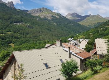
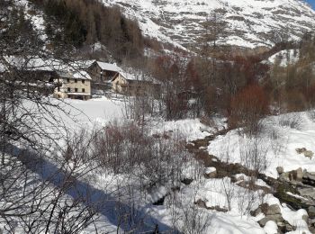
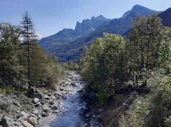
Réallon: Discover the best trails: 127 hiking trails, 2 bike and mountain-bike routes and 2 equestrian circuits. All these trails, routes and outdoor activities are available in our SityTrail applications for smartphones and tablets.
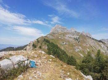
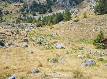
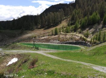
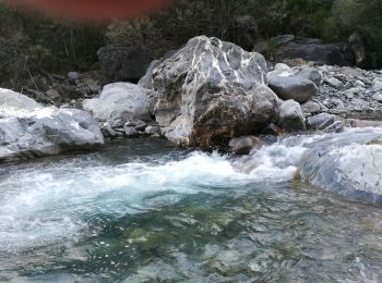
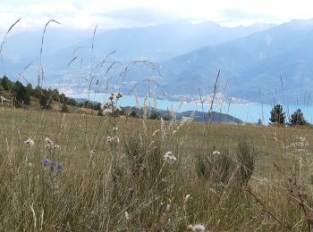
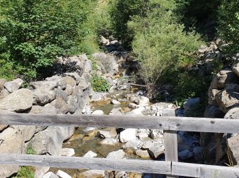
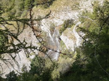
Walking


Walking
Walking
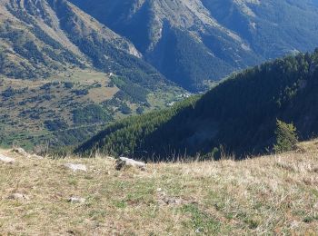
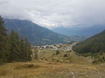
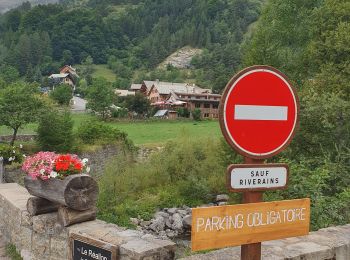
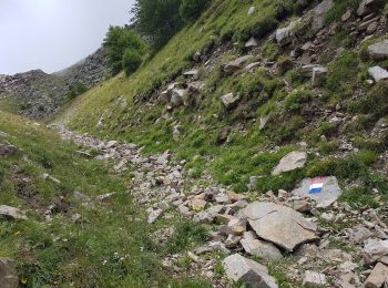
• montée vers le fort de Réallon (14ieme siecle). poursuite sur les alpages en direction des Gourniers. Retour par la ...

Walking
Snowshoes
Walking
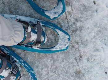
Snowshoes
Walking
Walking
Fishing
Walking
Walking
Walking
Walking
Walking
Walking
Walking
Walking
Walking
Walking
20 trails displayed on 158
FREE GPS app for hiking
 SityTrail
IGN / Geographical institutes
SityTrail World
The world is yours!