


62 km | 81 km-effort
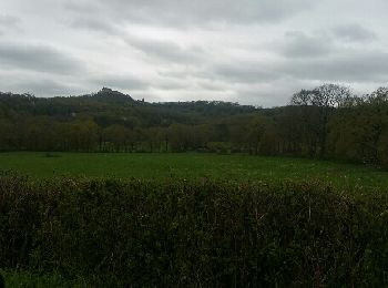
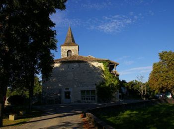
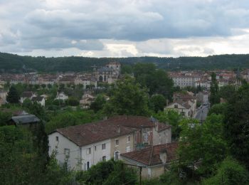
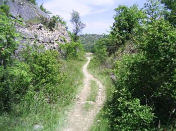
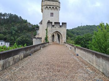
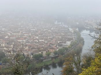
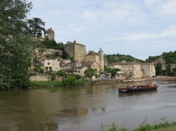
Cahors: Discover the best trails: 112 hiking trails and 43 bike and mountain-bike routes. All these trails, routes and outdoor activities are available in our SityTrail applications for smartphones and tablets.
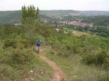
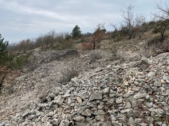
Mountain bike


Walking
Walking
Walking
Motor
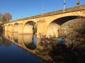
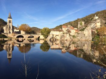
• cahors Bretenoux
Walking

Running
Walking
Mountain bike
Walking
Walking
Walking

Walking
Walking
Walking
Walking
Walking

Walking
Walking
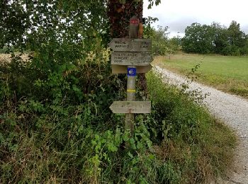
• St Jacques de Compostelle par la vallée du Célé
Cycle
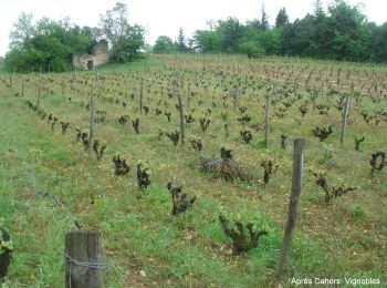
• Tracé correspondant approximativement à la véloroute du Lot
20 trails displayed on 163
FREE GPS app for hiking
 SityTrail
IGN / Geographical institutes
SityTrail World
The world is yours!