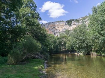
Saint-Sulpice, Lot: Best trails, routes and walks
Saint-Sulpice: Discover the best trails: 3 hiking trails. All these trails, routes and outdoor activities are available in our SityTrail applications for smartphones and tablets.
The best trails (5)

Km
#1 - Mas de jordy


Walking
Saint-Sulpice,
Occitania,
Lot,
France

9.3 km | 12.9 km-effort
3h 24min

235 m

372 m
No
laurentbernardbrunel

Km
#2 - st sulpice


Walking
Difficult
Saint-Sulpice,
Occitania,
Lot,
France

13.2 km | 17.8 km-effort
3h 22min

346 m

348 m
Yes
turbo33

Km
#3 - Descente du Célé entre Saint Sulpice et la base de loisirs des Anglanats


Canoe - kayak
Medium
Saint-Sulpice,
Occitania,
Lot,
France

16.8 km | 19.7 km-effort
Unknown

214 m

233 m
No
ilur56

Km
#4 - 3. Etappe; 3.Reise Kirchgemeinde Egg


Walking
Very easy
Saint-Sulpice,
Occitania,
Lot,
France

23 km | 34 km-effort
6h 0min

798 m

686 m
No
hallauer

Km
#5 - J8 St Sulpice Les Granges


Other activity
Very easy
Saint-Sulpice,
Occitania,
Lot,
France

22 km | 32 km-effort
6h 0min

729 m

729 m
No
philippevh
5 trails displayed on 5
FREE GPS app for hiking


 SityTrail


