Milhars, Tarn: Best trails, routes and walks

1 comments

Milhars: Discover the best trails: 7 hiking trails. All these trails, routes and outdoor activities are available in our SityTrail applications for smartphones and tablets.


The best trails (6)

Trail Walking Milhars - Milhars du Cėrou à l'Aveyron - Photo
Walking 43.142
Km

Walking

Easy
Milhars, Occitania, Tarn, France
43 km | 62 km-effort
2h 31min
1430 m
1321 m
No
tercla

Trail On foot Milhars - 2022-12-12_17h56m44_Cirkwi-Du_Cérou_à_l_Aveyron-1 - Photo
On foot 10.166
Km

On foot

Easy
Milhars, Occitania, Tarn, France
10.2 km | 13.7 km-effort
3h 6min
265 m
266 m
Yes
tercla

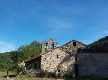
• À partir du joli village de Milhars, aventurez-vous par monts et par vaux dans une campagne accueillante offrant un p...

Trail Walking Milhars - 81-Milhars-La Gresinhola - Photo
Walking 20.243
Km

Walking

Medium
Milhars, Occitania, Tarn, France
20 km | 28 km-effort
6h 0min
576 m
576 m
Yes
Jovila

Trail Walking Milhars - 81_Milhars_longue - Photo
Walking 19.085
Km

Walking

Medium
(1)
Milhars, Occitania, Tarn, France
19.1 km | 27 km-effort
4h 36min
626 m
630 m
Yes
jab31

• bois et parcours sur causse

Trail Walking Milhars - 81_Milhars - Photo
Walking 7.409
Km

Walking

Very easy
Milhars, Occitania, Tarn, France
7.4 km | 9 km-effort
2h 25min
116 m
118 m
Yes
jab31

• Promenade Vallée de Bonnan; le long d un ruisseau

Trail On foot Milhars - 50km en partie Gresinhola - Photo
On foot 51.331
Km

On foot

Very difficult
Milhars, Occitania, Tarn, France
51 km | 72 km-effort
16h 23min
1558 m
1557 m
Yes
Jonathan Lambert

6 trails displayed on 6

FREE GPS app for hiking

Logo SityTrail SityTrail

IGN / Geographical institutes

Download SityTrail from the App Store Download SityTrail from Google Play

Logo SityTrail SityTrail World

The world is yours!

Download SityTrail from the App Store Download SityTrail from Google Play Download SityTrail on Huawei AppGallery

Activities

Close
My subscriptions