Regional Unit of Islands, Attica: Best trails, routes and walks
Regional Unit of Islands: Discover the best trails: 3 hiking trails. All these trails, routes and outdoor activities are available in our SityTrail applications for smartphones and tablets.
The best trails (4)

Km
#1 - M41 Mylopotamos Trail (long loop)


On foot
Easy
Municipal Unit of Kythira,
Attica,
Regional Unit of Islands,
Greece

4 km | 5.9 km-effort
1h 20min

144 m

146 m
Yes
SityTrail - itinéraires balisés pédestres
• Trail created by Kythera Hiking. Symbol: blue-white bars

Km
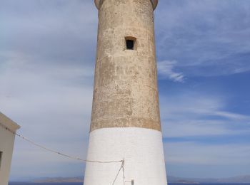
#2 - Vers le phare de Moudari


Walking
Medium
Municipal Unit of Kythira,
Attica,
Regional Unit of Islands,
Greece

7.7 km | 9.1 km-effort
2h 10min

101 m

115 m
No
LBarel

Km
#3 - 20180925 Scooter sur Poros


Walking
Very easy
,
Attica,
Regional Unit of Islands,
Greece

40 km | 55 km-effort
6h 3min

1100 m

1102 m
No
NanardPet

Km
#4 - E1-giros-toy-or0u


sport
Very easy
,
Attica,
Regional Unit of Islands,
Greece

8.9 km | 14.2 km-effort
Unknown

413 m

364 m
No
cros45
4 trails displayed on 4
FREE GPS app for hiking


 SityTrail


