Narni, Terni: Best trails, routes and walks

Narni: Discover the best trails: 7 hiking trails. All these trails, routes and outdoor activities are available in our SityTrail applications for smartphones and tablets.


The best trails (7)
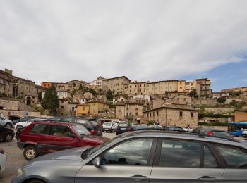
Trail On foot Narni - Tour dei centri - Photo
On foot 11.73
Km
PRO

On foot

Easy
Narni, Umbria, Terni, Italy
11.7 km | 17.7 km-effort
4h 1min
450 m
453 m
Yes
SityTrail - itinéraires balisés pédestres

• Trail created by Club Alpino Italiano. Symbol: 654 on white red flags
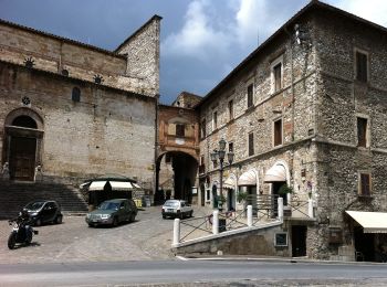
Trail On foot Narni - Narni - Madonna del Ponte - Taizzano - Castel Sant'Angelo - Photo
On foot 11.627
Km
PRO

On foot

Easy
Narni, Umbria, Terni, Italy
11.6 km | 16.5 km-effort
3h 44min
362 m
368 m
No
SityTrail - itinéraires balisés pédestres

• Trail created by Club Alpino Italiano. Symbol: 659 on white red flags
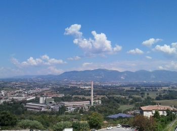
Trail On foot Narni - Rocca di Narni - Monte San Pancrazio - Monte Cosce - Vacone - Rocchette - Photo
On foot 15.548
Km
PRO

On foot

Medium
Narni, Umbria, Terni, Italy
15.5 km | 25 km-effort
5h 46min
909 m
226 m
No
SityTrail - itinéraires balisés pédestres

• Trail created by Club Alpino Italiano. relation route to be completed Symbol: 640 on white red flags

Trail On foot Narni - Narni - Itieli - Photo
On foot 26.712
Km
PRO

On foot

Difficult
Narni, Umbria, Terni, Italy
27 km | 39 km-effort
8h 47min
979 m
664 m
No
SityTrail - itinéraires balisés pédestres

• Trail created by Club Alpino Italiano. Symbol: 655 on white red flags

Trail On foot Narni - Itieli - Schifanoia - Photo
On foot 7.35
Km
PRO

On foot

Easy
Narni, Umbria, Terni, Italy
7.3 km | 9.2 km-effort
2h 4min
59 m
367 m
No
SityTrail - itinéraires balisés pédestres

• Trail created by Club Alpino Italiano. Symbol: 656 on white red flags

Trail On foot Narni - Guadamello - Intersezione 658 - Photo
On foot 5.564
Km
PRO

On foot

Easy
Narni, Umbria, Terni, Italy
5.6 km | 7.8 km-effort
1h 46min
148 m
235 m
No
SityTrail - itinéraires balisés pédestres

• Trail created by Club Alpino Italiano. Symbol: 657 on white red flags

Trail On foot Narni - Guadamello - Santa Pudenziana - Photo
On foot 8.586
Km
PRO

On foot

Easy
Narni, Umbria, Terni, Italy
8.6 km | 11.3 km-effort
2h 33min
178 m
275 m
No
SityTrail - itinéraires balisés pédestres

• Trail created by Club Alpino Italiano. Symbol: 658 on white red flags

7 trails displayed on 7

FREE GPS app for hiking

Logo SityTrail SityTrail

IGN / Geographical institutes

Download SityTrail from the App Store Download SityTrail from Google Play

Logo SityTrail SityTrail World

The world is yours!

Download SityTrail from the App Store Download SityTrail from Google Play Download SityTrail on Huawei AppGallery

Activities

Close
My subscriptions