Home
World
NEW
Premium
Shop
Trails
Articles
Help and support
Français
English
Nederlands
Español
Italiano
Deutsch
Log in
Home
Demos
Premium
Shop
Trails
Articles
Help and support
SityTrail
>
Points of interest
>
Point 13
SityTrail
>
Points of interest
>
Point 13
Point 13
Description
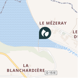
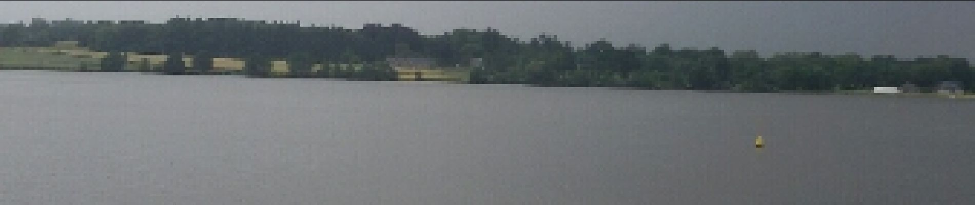
le lac a une superficie de 12ha et contenance de 3.2 millions de m3
Photos
Point 13 can be discovered in the following trails...
Axelloceane
rando autour du lac de Haute Mayenne
Walking
Medium
(1)
La Haie-Traversaine, Pays de la Loire, Mayenne, France
16.6 km | 19.8 km-effort
3h 15min
Yes
Axelloceane
User
©
OpenStreetMap
contributors
Positioning
Country:
France
Region :
Pays de la Loire
Department/Province :
Mayenne
Municipality :
Saint-Fraimbault-de-Prières
Location:
Unknown
Positioning
48.36451240000001 / -0.5907775199999605
Creation date :
2018-04-12 09:14:47.255
Updated on
2018-04-12 09:14:47.255
(0 Reviews)
Comments
Please log in to post a review or rate the element
Close
My subscriptions