


Hudajužna - Kranjska Gora

karawatsj
User
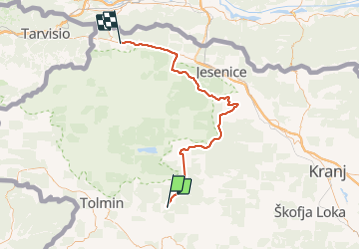

Length
73 km

Max alt
1514 m

Uphill gradient
2518 m
Km-Effort
105 km

Min alt
382 m

Downhill gradient
2103 m
Boucle
No
Creation date :
2019-01-15 12:39:46.605
Updated on :
2019-01-15 12:39:46.605
4h25
Difficulty : Medium

FREE GPS app for hiking
 SityTrail
IGN / Geographical institutes
SityTrail Plus
The world is yours!
About
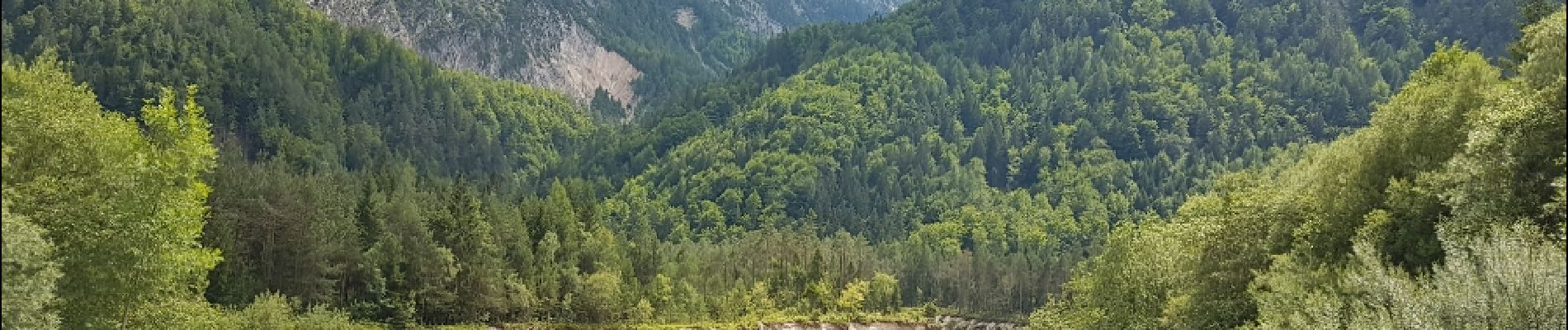
Trail Cycle of 73 km to be discovered at Unknown, Unknown, Tolmin. This trail is proposed by karawatsj.
Photos


23 photos in total. Please click on a photo to see them all in the gallery.
Positioning
Country:
Slovenia
Region :
Unknown
Department/Province :
Unknown
Municipality :
Tolmin
Location:
Unknown
Start:(Dec)
Start:(UTM)
416169 ; 5113986 (33T) N.
Comments