


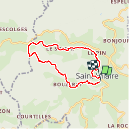

5.9 km | 7.6 km-effort


User GUIDE


FREE GPS app for hiking
 SityTrail
IGN / Geographical institutes
SityTrail World
The world is yours!
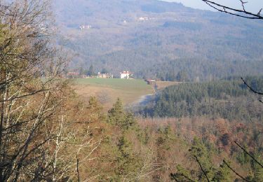
Trail Walking of 6.8 km to be discovered at Auvergne-Rhône-Alpes, Haute-Loire, Saint-Hilaire. This trail is proposed by lhomme.ph.
Walking
Walking

Walking
Walking

Walking
Walking

Walking

Other activity
Walking
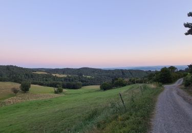
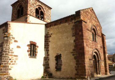
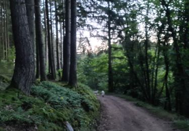
tres beau parcours, avec pas mal de denivelé.