


saugue G4 fait

LouisROGER
User GUIDE
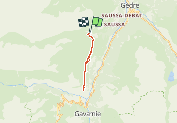

Length
8.6 km

Max alt
1669 m

Uphill gradient
370 m
Km-Effort
13.5 km

Min alt
1493 m

Downhill gradient
369 m
Boucle
Yes
Creation date :
2019-01-15 12:58:45.803
Updated on :
2019-01-15 12:58:45.803
5h01
Difficulty : Unknown

FREE GPS app for hiking
 SityTrail
IGN / Geographical institutes
SityTrail Plus
The world is yours!
About
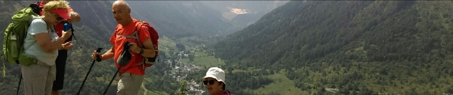
Trail Walking of 8.6 km to be discovered at Occitania, Hautespyrenees, Gavarnie-Gèdre. This trail is proposed by LouisROGER.
Photos


Positioning
Country:
France
Region :
Occitania
Department/Province :
Hautespyrenees
Municipality :
Gavarnie-Gèdre
Location:
Gèdre
Start:(Dec)
Start:(UTM)
744839 ; 4740009 (30T) N.
Comments