


2018-07-14 lac

Lucquiaud
User
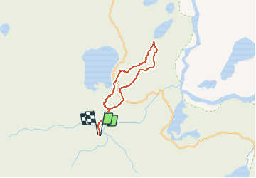

Length
13.1 km
Boucle
Yes
Creation date :
2018-09-15 15:02:36.184
Updated on :
2018-09-15 15:02:36.52
4h43
Difficulty : Medium

FREE GPS app for hiking
 SityTrail
IGN / Geographical institutes
SityTrail Plus
The world is yours!
About
Trail Walking of 13.1 km to be discovered at Unknown, Rangárþing ytra. This trail is proposed by Lucquiaud.
Positioning
Country:
Iceland
Region :
Unknown
Department/Province :
Rangárþing ytra
Municipality :
Landmannalaugar
Location:
Unknown
Start:(Dec)
Start:(UTM)
594969 ; 7097357 (27V) N.
Comments