Trail Mountain bike Cabrerolles - Cabrerolles-Roquebrun-Cabrerolles - Photo

Cabrerolles-Roquebrun-Cabrerolles

 Lieuran
Lieuran

User

© OpenStreetMap contributors
Length
Length
41 km
Max alt
Max alt
651 m
Uphill gradient
Uphill gradient
1525 m
Km-Effort
Km-Effort  
62 km
Min alt
Min alt
87 m
Downhill gradient
Downhill gradient
1529 m
Boucle
Boucle
Yes
Creation date :
2019-01-15 13:04:12.785
Updated on :
2019-01-15 13:04:12.785

(1 Reviews)

Mountain bike
Mountain bike
3h00
Difficulty : Difficult

Scan this QR Code to open this trail in the SityTrail application

FREE GPS app for hiking

Logo SityTrail SityTrail

IGN / Geographical institutes

Download SityTrail from the App Store Download SityTrail from Google Play

Logo SityTrail SityTrail World

The world is yours!

Download SityTrail from the App Store Download SityTrail from Google Play Download SityTrail on Huawei AppGallery

About

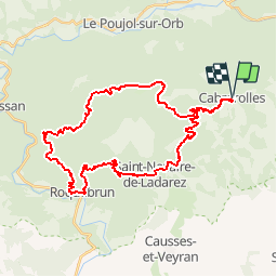
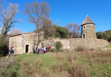
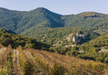
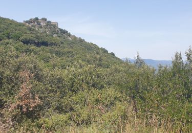
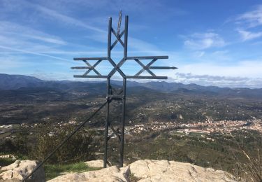
Trail Mountain bike of 41 km to be discovered at Occitania, Hérault, Cabrerolles. This trail is proposed by Lieuran.

Description

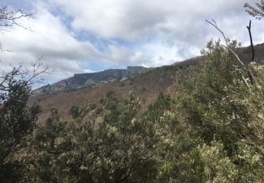
parties cassantes avec pierailles....partie roulante en forêt domaniale.....partie tres technique  (noire) descente sur Roquebrun.....dénivellé important....Pour vétetiste entrainé

Elevation profile

Positioning

Country:
France
Region :
Occitania
Department/Province :
Hérault
Municipality :
Cabrerolles
Location:
Unknown
Start:(UTM)
510104 ; 4821300 (31T) N.

Comments

Please log in to post a review or rate the element


circuit mixte marché et vtt. Des troncons sont pas possibles en vtt.


Trails nearby

Trail Walking Hérépian - herepian pic de Tantajo - Photo
Walking
mrclic34

Walking

Easy
(1)
Hérépian, Occitania, Hérault, France
13 km | 18.6 km-effort
4h 17min
Yes
Trail Walking Les Aires - Saint Michel la coquillade - Photo
Walking
Paulodst

Walking

Medium
(1)
Les Aires, Occitania, Hérault, France
13.2 km | 21 km-effort
4h 7min
Yes
Trail On foot Les Aires - Pic de la Coquillade - Photo
On foot
PRO

On foot

Easy
Les Aires, Occitania, Hérault, France
11.3 km | 19 km-effort
4h 19min
Yes
Trail Walking Cabrerolles - Cabrerolles - Photo
Walking
Raymond DAVID

Walking

Medium
Cabrerolles, Occitania, Hérault, France
14 km | 18.9 km-effort
4h 30min
Yes
Trail Walking Le Poujol-sur-Orb - Rando Seviracttt - Photo
Walking
PiloudeBamako

Walking

Very difficult
Le Poujol-sur-Orb, Occitania, Hérault, France
14.9 km | 21 km-effort
4h 40min
Yes
Trail On foot Cabrerolles - Le trou du météore à Cabrerolles - Photo
On foot
PRO

On foot

Easy
Cabrerolles, Occitania, Hérault, France
12.2 km | 16.3 km-effort
3h 42min
Yes
Trail Walking Les Aires - les aires, chapelle Saint Michel  - Photo
Walking
francislassauce

Walking

Medium
Les Aires, Occitania, Hérault, France
7.6 km | 11.4 km-effort
3h 25min
Yes
Trail Walking Faugères - La Caumette-  Pic du Tantajo - Photo
Walking
PiloudeBamako

Walking

Difficult
(1)
Faugères, Occitania, Hérault, France
13 km | 18.7 km-effort
4h 59min
Yes
Trail Walking Les Aires - la coquillage et saint michel - Photo
Walking
Paulodst

Walking

Medium
Les Aires, Occitania, Hérault, France
11.9 km | 19.7 km-effort
3h 47min
Yes


Close
My subscriptions