


CO mamelles trace des alizés Nord

sameja
User


Length
4.8 km

Max alt
627 m

Uphill gradient
154 m
Km-Effort
6.9 km

Min alt
558 m

Downhill gradient
158 m
Boucle
Yes
Creation date :
2019-01-16 09:27:46.572
Updated on :
2019-01-16 09:27:46.572
1h46
Difficulty : Unknown

FREE GPS app for hiking
 SityTrail
IGN / Geographical institutes
SityTrail Plus
The world is yours!
About
Trail Other activity of 4.8 km to be discovered at Guadeloupe, Unknown, Pointe-Noire. This trail is proposed by sameja.
Description
Mamelles
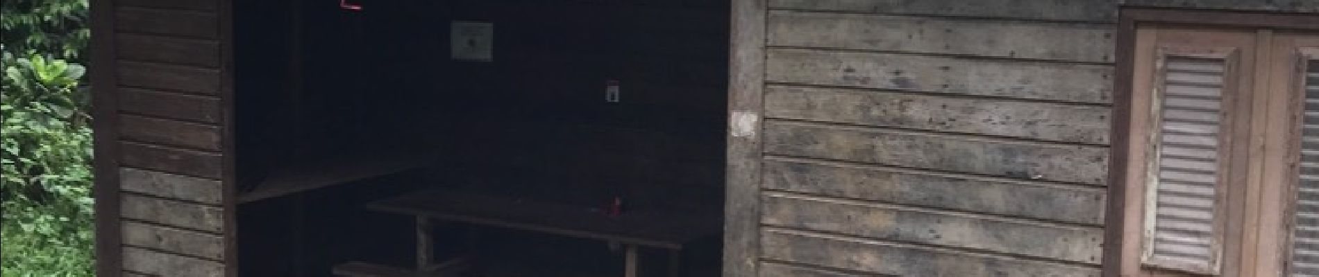
Photos


Positioning
Country:
France
Region :
Guadeloupe
Department/Province :
Unknown
Municipality :
Pointe-Noire
Location:
Unknown
Start:(Dec)
Start:(UTM)
635054 ; 1789449 (20Q) N.
Comments