


trace des crêtes

sameja
User
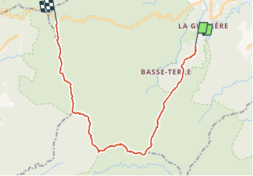

Length
19.3 km

Max alt
1146 m

Uphill gradient
1577 m
Km-Effort
39 km

Min alt
224 m

Downhill gradient
1243 m
Boucle
No
Creation date :
2020-04-05 01:43:33.815
Updated on :
2020-04-05 01:43:33.815
10h26
Difficulty : Very difficult

FREE GPS app for hiking
 SityTrail
IGN / Geographical institutes
SityTrail Plus
The world is yours!
About
Trail Other activity of 19.3 km to be discovered at Guadeloupe, Unknown, Petit-Bourg. This trail is proposed by sameja.
Description
Mamelle
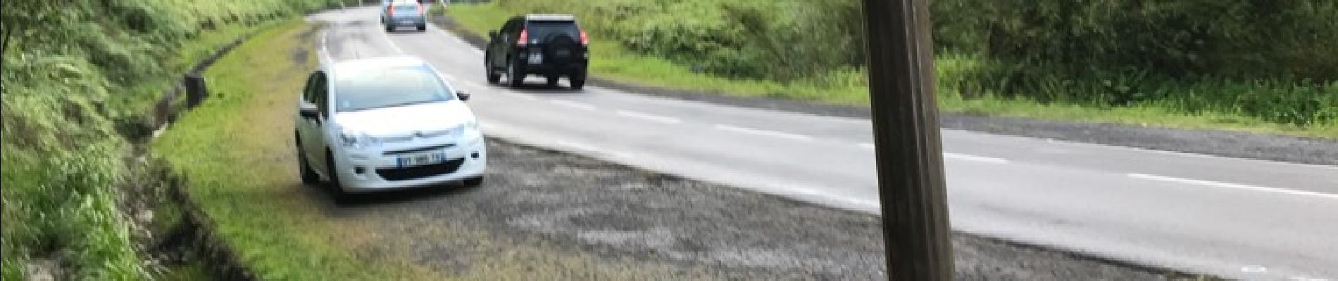
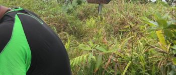
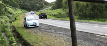
Photos


Positioning
Country:
France
Region :
Guadeloupe
Department/Province :
Unknown
Municipality :
Petit-Bourg
Location:
Unknown
Start:(Dec)
Start:(UTM)
642832 ; 1787872 (20Q) N.
Comments