


balise

sameja
User
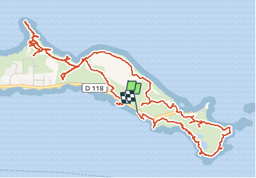

Length
12 km

Max alt
27 m

Uphill gradient
129 m
Km-Effort
13.7 km

Min alt
-1 m

Downhill gradient
135 m
Boucle
No
Creation date :
2020-04-05 01:43:01.582
Updated on :
2020-04-05 01:43:01.582
2h42
Difficulty : Easy

FREE GPS app for hiking
 SityTrail
IGN / Geographical institutes
SityTrail Plus
The world is yours!
About
Trail Other activity of 12 km to be discovered at Guadeloupe, Unknown, Saint-François. This trail is proposed by sameja.
Description
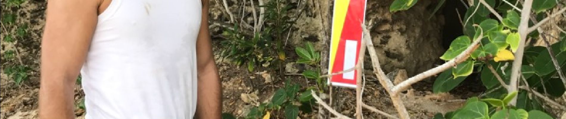
Pointe des châteaux
Photos


59 photos in total. Please click on a photo to see them all in the gallery.


Positioning
Country:
France
Region :
Guadeloupe
Department/Province :
Unknown
Municipality :
Saint-François
Location:
Unknown
Start:(Dec)
Start:(UTM)
693781 ; 1797272 (20Q) N.
Comments