


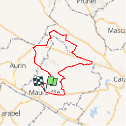

15.7 km | 19.5 km-effort

User


FREE GPS app for hiking
 SityTrail
IGN / Geographical institutes
SityTrail World
The world is yours!
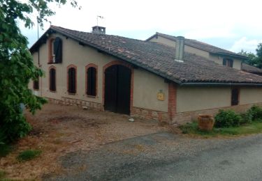
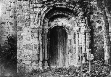
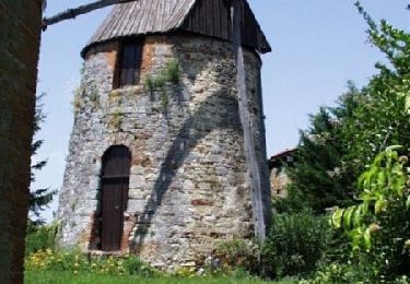
Trail Running of 14.4 km to be discovered at Occitania, Haute-Garonne, Maureville. This trail is proposed by tracegps.
Un circuit d'aventure ! Ici, rien n'est garanti, certaines portions passent plus ou moins bien selon la saison, en fonction des labours, des pluies... Mais la récompense est permanente, très surprenant !

Running

Walking
Walking
Walking

Running
Walking
Running

Running

Running