


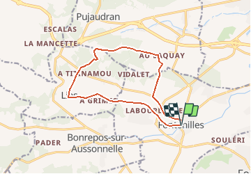

19 km | 23 km-effort

User


FREE GPS app for hiking
 SityTrail
IGN / Geographical institutes
SityTrail World
The world is yours!
Trail Running of 13.7 km to be discovered at Occitania, Haute-Garonne, Fontenilles. This trail is proposed by tracegps.
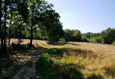
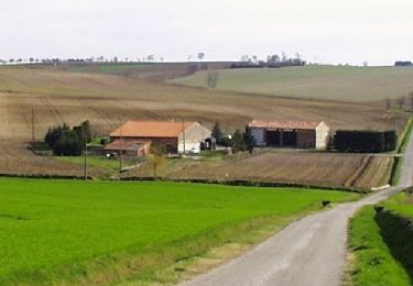
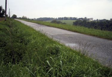
Chemins et petites routes mélées pour ce tour très agréable en passant par le Bois des Arramous


Walking
On foot

Running
Walking
Walking
Mountain bike
Running

Running

Mountain bike